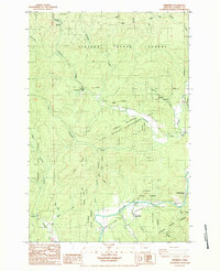
1984 Map of Vinemaple
USGS Topo · Published 1984About this map
The Nehalem River valley serves as the focal point for this survey of the northern Oregon interior, where logging and conservation interests intersect. The settlement of Vinemaple and the nearby Vinemaple Bridge anchor the southern riverbanks, while the town of Jewell and the Jewell Cem sit further east along Fishhawk Creek. This landscape is heavily defined by the Clatsop State Forest and the Jewell Wildlife Management Area, illustrating a 1980s transition toward protected wildlands and managed timber resources.
Find a feature on this map
37 named features on this map. Tap any name to fly to it.
Don’t see what you’re looking for? This feature index may not catch every label — zoom into the map to look around manually.
Map Details
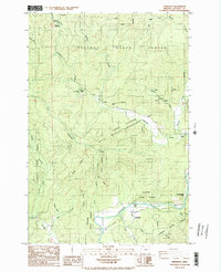
Editions of this 1984 Vinemaple Map
2 editions found
Other maps of this area

1939 · Saddle Mountain
USGS Topo · 1:62,500

1940 · Svensen
USGS Topo · 1:62,500

1941 · Keasey
USGS Topo · 1:62,500

1941 · Cathlamet
USGS Topo · 1:62,500

1943 · Keasey
USGS Topo · 1:62,500

1943 · Saddle Mtn.
USGS Topo · 1:62,500

1948 · Vancouver
USGS Topo · 1:250,000

1949 · Green Mountain
USGS Topo · 1:24,000

1950 · Vancouver
USGS Topo · 1:250,000

1950 · Vancouver
USGS Topo · 1:250,000