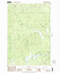
1984 Map of Vinemaple
USGS Topo · Published 1984About this map
Clatsop State Forest defines the geography of this mid-1980s topographic record, where the Nehalem River winds through a landscape of timber management and scattered river settlements. Small communities like Vinemaple and Jewell are central to the region's character, joined by vanished locales like Grand Rapids (Site) and the riverside Tideport. The transition from photography in 1975 to this publication reflects a period of stabilized conservation, marked by the extensive Jewell Meadows Wildlife Management Area.
Find a feature on this map
33 named features on this map. Tap any name to fly to it.
Don’t see what you’re looking for? This feature index may not catch every label — zoom into the map to look around manually.
Map Details
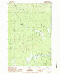
Editions of this 1984 Vinemaple Map
2 editions found
Other maps of this area

1939 · Saddle Mountain
USGS Topo · 1:62,500

1940 · Svensen
USGS Topo · 1:62,500

1941 · Keasey
USGS Topo · 1:62,500

1941 · Cathlamet
USGS Topo · 1:62,500

1943 · Keasey
USGS Topo · 1:62,500

1943 · Saddle Mtn.
USGS Topo · 1:62,500

1948 · Vancouver
USGS Topo · 1:250,000

1949 · Green Mountain
USGS Topo · 1:24,000

1950 · Vancouver
USGS Topo · 1:250,000

1950 · Vancouver
USGS Topo · 1:250,000