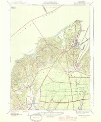
1944 Map of Vineyard Haven
USGS Topo · Published 1944About this map
Vineyard Haven serves as the primary maritime gateway on this 1944 charting of Martha's Vineyard, anchored by the West Chop Lighthouse at the tip of West Chop. The map reveals a mid-century landscape of island life, where coastal leisure at Mink Meadows Golf Club and Tashmoo Golf Course exists alongside the quiet inland settlements of North Tisbury and West Tisbury.
Find a feature on this map
63 named features on this map. Tap any name to fly to it.
Don’t see what you’re looking for? This feature index may not catch every label — zoom into the map to look around manually.
Map Details
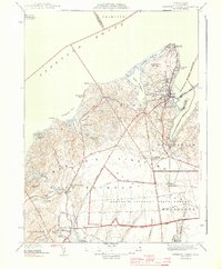
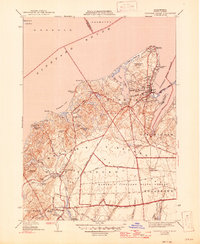
Editions of this 1944 Vineyard Haven Map
3 editions found
Other maps of this area

1886 · Falmouth
USGS Topo · 1:62,500

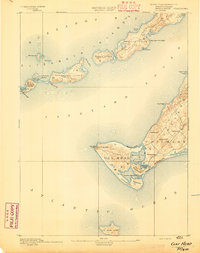
1887 · Gay Head
USGS Topo · 1:62,500

1887 · Marthas Vineyard
USGS Topo · 1:62,500

1888 · Falmouth
USGS Topo · 1:62,500

1889 · Gay Head
USGS Topo · 1:62,500

1889 · Marthas Vineyard
USGS Topo · 1:62,500
1893 · Gay Head
USGS Topo · 1:62,500

1893 · Falmouth
USGS Topo · 1:62,500

1894 · Marthas Vineyard
USGS Topo · 1:62,500

1915 · Falmouth
USGS Topo · 1:62,500