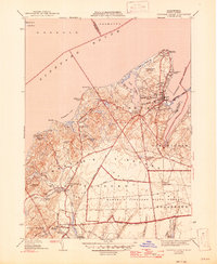
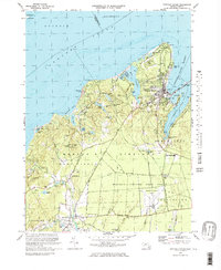
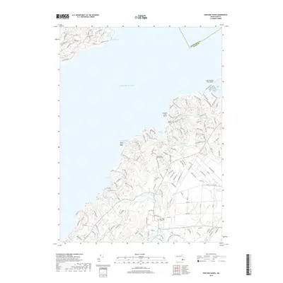
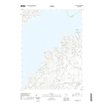
1944 Map of Vineyard Haven
USGS Topo · Published 1947About this map
Vineyard Haven serves as the focal point of this coastal survey, where the harbor and Lagoon Pond define the maritime character of northern Marthas Vineyard. The 1942 topography highlights the transition from the concentrated settlement at West Chop, guarded by the West Chop Lighthouse, to the sprawling interior of the Marthas Vineyard State Forest.
Find a feature on this map
57 named features on this map. Tap any name to fly to it.
Don’t see what you’re looking for? This feature index may not catch every label — zoom into the map to look around manually.
Map Details
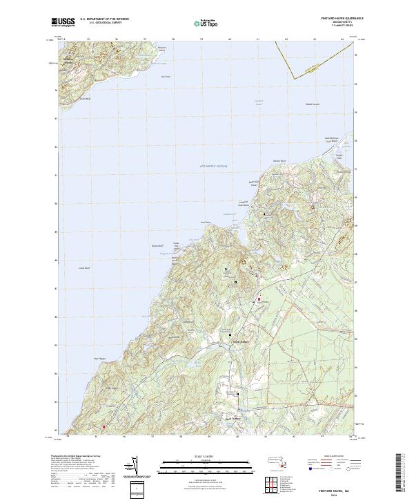
Editions of this 1944 Vineyard Haven Map
3 editions found
Historical Maps of Falmouth Through Time
9 maps found
1944 Vineyard Haven
Dukes County, MA
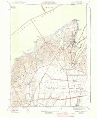
1951 Vineyard Haven
Dukes County, MA
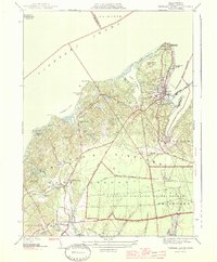
1972 Vineyard Haven
Dukes County, MA
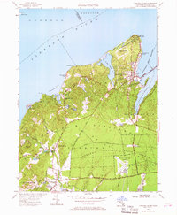
1977 Vineyard Haven
Dukes County, MA
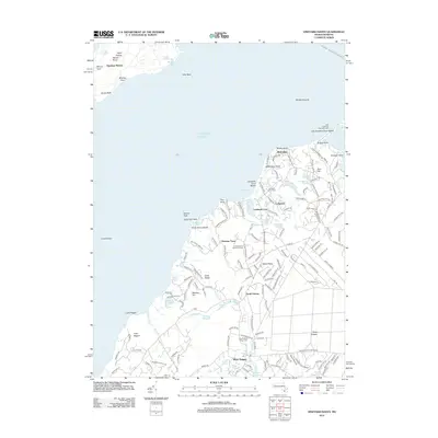
2012 Vineyard Haven
Dukes County, MA
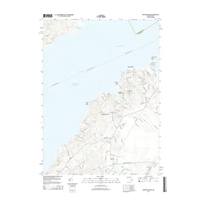
2015 Vineyard Haven
Dukes County, MA
2018 Vineyard Haven
Dukes County, MA
2021 Vineyard Haven
Dukes County, MA
2024 Vineyard Haven
Dukes County, MA