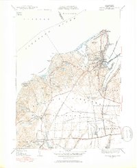
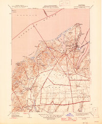
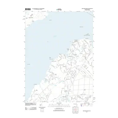
1951 Map of Vineyard Haven
USGS Topo · Published 1952About this map
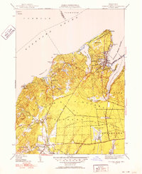
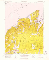
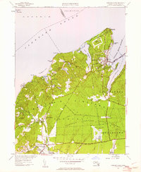
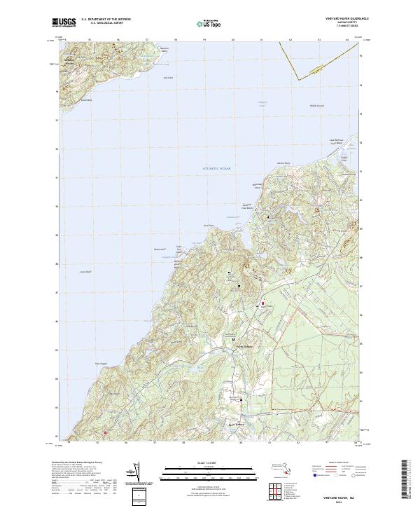
The northern reaches of Martha's Vineyard are captured in detail following the post-war era, showing a landscape defined by its coastal ponds and maritime navigation aids. At the island's tip, West Chop Lighthouse stands watch over Vineyard Sound and Vineyard Haven Harbor, guiding traffic into the bustling port at Vineyard Haven. The inland topography reveals a network of ancient glacial formations, with high points like Indian Hill and Pilot Hill overlooking the expansive Martha's Vineyard State Forest.
Find a feature on this map
65 named features on this map. Tap any name to fly to it.
Don’t see what you’re looking for? This feature index may not catch every label — zoom into the map to look around manually.
Map Details
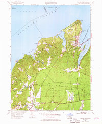
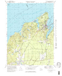
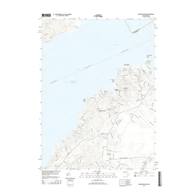
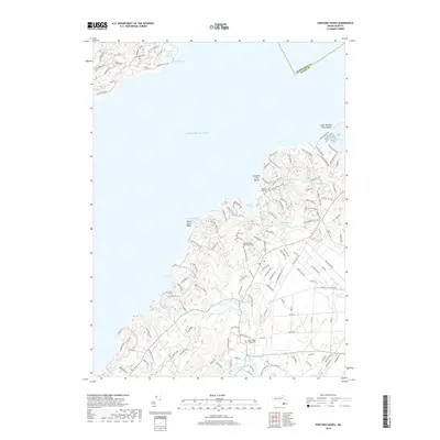
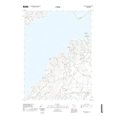
Editions of this 1951 Vineyard Haven Map
5 editions found
Historical Maps of Falmouth Through Time
9 maps found
1944 Vineyard Haven
Dukes County, MA
1951 Vineyard Haven
Dukes County, MA
1972 Vineyard Haven
Dukes County, MA
1977 Vineyard Haven
Dukes County, MA
2012 Vineyard Haven
Dukes County, MA
2015 Vineyard Haven
Dukes County, MA
2018 Vineyard Haven
Dukes County, MA
2021 Vineyard Haven
Dukes County, MA
2024 Vineyard Haven
Dukes County, MA