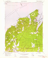
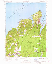
1951 Map of Vineyard Haven
USGS Topo · Published 1961About this map
Vineyard Haven and the surrounding northern reaches of Martha's Vineyard are captured here just after the mid-century, a period before the island's modern residential density. The landscape is defined by the transition from the maritime activity at Vineyard Haven Harbor to the agricultural and forested interior. To the north, West Chop Lighthouse stands as a sentinel over Vineyard Sound, while inland, the Martha's Vineyard State Forest and the expansive Martha's Vineyard Airport reflect the island's role as both a protected natural area and an accessible destination.
Find a feature on this map
70 named features on this map. Tap any name to fly to it.
Don’t see what you’re looking for? This feature index may not catch every label — zoom into the map to look around manually.
Map Details
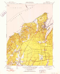
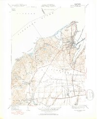
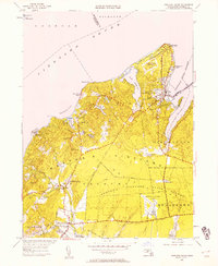
Editions of this 1951 Vineyard Haven Map
5 editions found
Other maps of this area

1886 · Falmouth
USGS Topo · 1:62,500

1887 · Gay Head
USGS Topo · 1:62,500

1887 · Marthas Vineyard
USGS Topo · 1:62,500

1888 · Falmouth
USGS Topo · 1:62,500

1889 · Gay Head
USGS Topo · 1:62,500

1889 · Marthas Vineyard
USGS Topo · 1:62,500

1893 · Gay Head
USGS Topo · 1:62,500

1893 · Falmouth
USGS Topo · 1:62,500

1894 · Marthas Vineyard
USGS Topo · 1:62,500

1915 · Falmouth
USGS Topo · 1:62,500