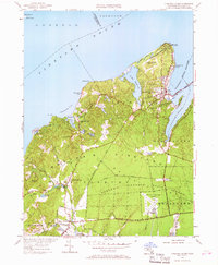
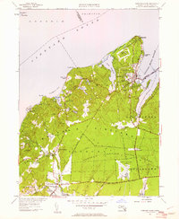
1951 Map of Vineyard Haven
USGS Topo · Published 1967About this map
The maritime gateway of Vineyard Haven and the northern reaches of Martha's Vineyard are captured here in a period of mid-century coastal character. From the prominent West Chop Lighthouse guarding the entrance to Vineyard Haven Harbor, the map reveals a landscape defined by glacial ponds and narrow coastal inlets like Lake Tashmoo and Lamberts Cove. Further inland, the map transitions to the open spaces of the Martha's Vineyard State Forest and the early layout of the Martha's Vineyard Airport.
Find a feature on this map
65 named features on this map. Tap any name to fly to it.
Don’t see what you’re looking for? This feature index may not catch every label — zoom into the map to look around manually.
Map Details
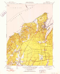
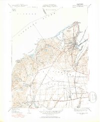
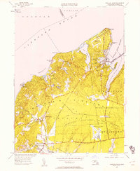
Editions of this 1951 Vineyard Haven Map
5 editions found
Other maps of this area

1886 · Falmouth
USGS Topo · 1:62,500

1887 · Gay Head
USGS Topo · 1:62,500

1887 · Marthas Vineyard
USGS Topo · 1:62,500

1888 · Falmouth
USGS Topo · 1:62,500

1889 · Gay Head
USGS Topo · 1:62,500

1889 · Marthas Vineyard
USGS Topo · 1:62,500

1893 · Gay Head
USGS Topo · 1:62,500

1893 · Falmouth
USGS Topo · 1:62,500

1894 · Marthas Vineyard
USGS Topo · 1:62,500

1915 · Falmouth
USGS Topo · 1:62,500