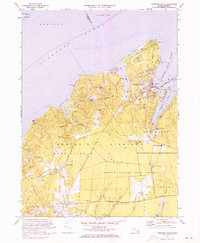
1972 Map of Vineyard Haven
USGS Topo · Published 1973About this map
The northern reaches of Martha's Vineyard are captured here in the early 1970s, revealing a landscape defined by its coastal inlets and inland ponds. At the island's northern tip, West Chop stands as a prominent sentinel overlooking Vineyard Sound, while the busy harbor at Vineyard Haven serves as the primary gateway for ferry traffic. Moving inland, the map details the rural character of settlements like North Tisbury and West Tisbury, where winding roads like Lamberts Cove Road connect scattered homesteads. Significant local landmarks include the Christiantown Memorial Chapel and its adjacent Christiantown Memorial Cemetery, offering a look at the island's colonial and Wampanoag history. Large-scale public works and conservation efforts are also evident, from the expansive Martha's Vineyard State Forest to the development of the Martha's Vineyard Airport and the modern Martha's Vineyard Regional High School.
Find a feature on this map
80 named features on this map. Tap any name to fly to it.
Don’t see what you’re looking for? This feature index may not catch every label — zoom into the map to look around manually.
Map Details
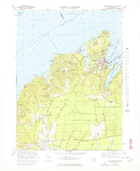
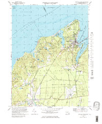
Editions of this 1972 Vineyard Haven Map
3 editions found
Other maps of this area

1886 · Falmouth
USGS Topo · 1:62,500

1887 · Gay Head
USGS Topo · 1:62,500

1887 · Marthas Vineyard
USGS Topo · 1:62,500

1888 · Falmouth
USGS Topo · 1:62,500

1889 · Gay Head
USGS Topo · 1:62,500

1889 · Marthas Vineyard
USGS Topo · 1:62,500

1893 · Gay Head
USGS Topo · 1:62,500

1893 · Falmouth
USGS Topo · 1:62,500

1894 · Marthas Vineyard
USGS Topo · 1:62,500

1915 · Falmouth
USGS Topo · 1:62,500