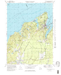
1972 Map of Vineyard Haven
USGS Topo · Published 1978About this map
Vineyard Haven Harbor and the northern reaches of Martha's Vineyard are captured in this 1970s record, showcasing the transition from coastal maritime hubs to the island's interior woodlands. In the northeast, the settlement of Vineyard Haven sits between the protected waters of Lake Tashmoo and Lagoon Pond, where tidal flats and beach roads trace the shifting shoreline. Further south and west, the landscape opens into the Martha's Vineyard State Forest and the quiet crossroads of North Tisbury and West Tisbury. Genealogy and local history are preserved in the presence of the Lamberts Cove Ch, the Christiantown Memorial Cem, and the Mayhew Chapel. The interior is defined by family-named ponds and glacial features like Indian Hill and Cedar Tree Neck, while early industrial sites like the Old Millpond on Mill Brook illustrate the island's historical reliance on local water power for milling.
Find a feature on this map
69 named features on this map. Tap any name to fly to it.
Don’t see what you’re looking for? This feature index may not catch every label — zoom into the map to look around manually.
Map Details
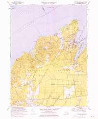
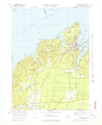
Editions of this 1972 Vineyard Haven Map
3 editions found
Other maps of this area

1886 · Falmouth
USGS Topo · 1:62,500

1887 · Gay Head
USGS Topo · 1:62,500

1887 · Marthas Vineyard
USGS Topo · 1:62,500

1888 · Falmouth
USGS Topo · 1:62,500

1889 · Gay Head
USGS Topo · 1:62,500

1889 · Marthas Vineyard
USGS Topo · 1:62,500

1893 · Gay Head
USGS Topo · 1:62,500

1893 · Falmouth
USGS Topo · 1:62,500

1894 · Marthas Vineyard
USGS Topo · 1:62,500

1915 · Falmouth
USGS Topo · 1:62,500