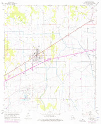
1960 Map of Vinton
USGS Topo · Published 1976About this map
The Vinton Oil Field dominates the southern landscape of this Calcasieu Parish map, illustrating the significant industrial footprint of petroleum extraction in southwestern Louisiana. This 1960 survey, updated with mid-1970s revisions, shows a dense network of derrick sites and access roads south of the town center. The settlement of Vinton serves as the regional hub, situated along the Southern Pacific railroad and a newly expanding interstate corridor.
Find a feature on this map
20 named features on this map. Tap any name to fly to it.
Don’t see what you’re looking for? This feature index may not catch every label — zoom into the map to look around manually.
Map Details
Editions of this 1960 Vinton Map
4 editions found
Other maps of this area

1932 · Orange
USGS Topo · 1:62,500

1946 · Phoenix Lake
USGS Topo · 1:31,680

1947 · Sulphur
USGS Topo · 1:31,680

1947 · Starks
USGS Topo · 1:31,680

1947 · Vinton
USGS Topo · 1:31,680

1947 · Toomey
USGS Topo · 1:31,680

1947 · Sulphur Mines
USGS Topo · 1:31,680

1947 · Lunita
USGS Topo · 1:31,680
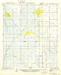
1949 · Cameron Farms
USGS Topo · 1:31,680
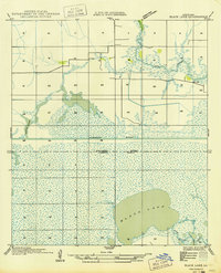
1949 · Black Lake
USGS Topo · 1:31,680