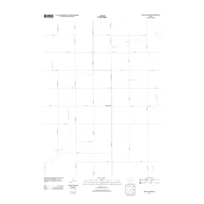
2013 Map of Viola Center
USGS Topo · Published 2013About this map
Viola Center stands at the heart of this agricultural landscape in Audubon County, where the geometric precision of the Midwestern grid system meets the natural drainage of the Missouri and Mississippi River watersheds. The western portion of the map is defined by the E Nishnabotna River, while the eastern side is shaped by the S Raccoon River. This proximity to two major regional drainage systems marks a significant topographical divide. The rural character of the area is underscored by a network of farm-to-market roads named for birds and trees, such as Phoenix Ave, Nighthawk Ave, and Mahogany Ave, which connect isolated farmsteads to the primary junction at Viola Center. Smaller watercourses like Beaver Cr and Brushy Cr further carve the terrain, illustrating the intricate hydrology that supports the region's long-standing farming tradition.
Find a feature on this map
26 named features on this map. Tap any name to fly to it.
Don’t see what you’re looking for? This feature index may not catch every label — zoom into the map to look around manually.
Map Details
Editions of this 2013 Viola Center Map
This is the sole edition of this map. No revisions or reprints were ever made.
Other maps of this area

1954 · Omaha
USGS Topo · 1:250,000

1957 · Omaha
USGS Topo · 1:250,000

1957 · Audubon
USGS Topo · 1:62,500

1958 · Omaha
USGS Topo · 1:250,000

1971 · Coon Rapids South
USGS Topo · 1:24,000

1971 · Viola Center
USGS Topo · 1:24,000

1971 · Dedham
USGS Topo · 1:24,000

1971 · Coon Rapids North
USGS Topo · 1:24,000

1971 · Templeton
USGS Topo · 1:24,000

1971 · North Branch
USGS Topo · 1:24,000