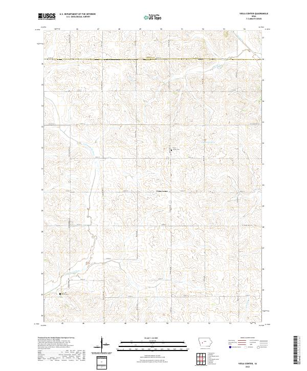
2022 Map of Viola Center
USGS Topo · Published 2022About this map
Viola Center sits at the heart of this agricultural landscape in Audubon County, marked by the geometric grid of county roads such as Mahogany Ave and Nighthawk Ave. This 2022 survey illustrates a classic Midwestern drainage pattern where the East Nishnabotna River and the South Raccoon River draw their waters from numerous smaller tributaries like Beaver Creek and Davids Creek. For those tracing local history, the map preserves the locations of Viola Center Cemetery and Luccocks Grove Cemetery, providing essential geographic context for family research in this rural Iowa township. The map also delineates the precise boundary between Carroll and Audubon counties, showing how the land is divided into the Public Land Survey System townships and ranges.
Find a feature on this map
38 named features on this map. Tap any name to fly to it.
Don’t see what you’re looking for? This feature index may not catch every label — zoom into the map to look around manually.
Map Details
Editions of this 2022 Viola Center Map
This is the sole edition of this map. No revisions or reprints were ever made.
Other maps of this area

1954 · Omaha
USGS Topo · 1:250,000

1957 · Omaha
USGS Topo · 1:250,000

1957 · Audubon
USGS Topo · 1:62,500

1958 · Omaha
USGS Topo · 1:250,000

1971 · Coon Rapids South
USGS Topo · 1:24,000

1971 · Viola Center
USGS Topo · 1:24,000

1971 · Dedham
USGS Topo · 1:24,000

1971 · Coon Rapids North
USGS Topo · 1:24,000

1971 · Templeton
USGS Topo · 1:24,000

1971 · North Branch
USGS Topo · 1:24,000