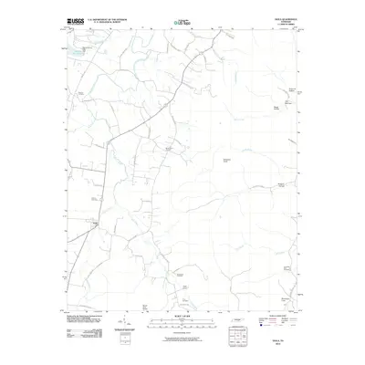
2010 Map of Viola
USGS Topo · Published 2010About this map
The town of Viola serves as the focal point of this Warren County landscape, situated along the winding banks of Hickory Creek and its many tributaries. This survey captures a rural Tennessee environment defined by its cemeteries and named hollows, reflecting generations of local family history. Genealogists will find several burial sites including Bascom Cemetery, Gwynn Cemetery, and the Northcutts Cove Cemetery located near the southeastern edge of the map. Significant topographic features like Butterson Knob and The Narrows rise above the agricultural valley, while the crossing at Mount Olive Bridge over Fultz Creek and the waters of Harvest Farms Lake mark the local geography. The map illustrates a dense network of local routes such as Chestnut Ridge Rd and Mount Zion Rd, connecting dispersed homesteads and the settlement at Harvest Farms.
Find a feature on this map
57 named features on this map. Tap any name to fly to it.
Don’t see what you’re looking for? This feature index may not catch every label — zoom into the map to look around manually.
Map Details
Editions of this 2010 Viola Map
This is the sole edition of this map. No revisions or reprints were ever made.
Other maps of this area

1893 · Mc Minnville
USGS Topo · 1:125,000

1895 · Mc Minnville
USGS Topo · 1:125,000

1895 · Sewanee
USGS Topo · 1:125,000

1936 · Morrison
USGS Topo · 1:24,000

1936 · Hillsboro
USGS Topo · 1:24,000

1936 · Cane Hollow
USGS Topo · 1:24,000

1943 · Mc Minnville
USGS Topo · 1:100,000

1952 · Centertown
USGS Topo · 1:24,000

1953 · Chattanooga
USGS Topo · 1:250,000

1953 · Centertown
USGS Topo · 1:24,000