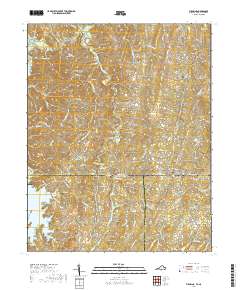
2019 Map of Virgilina
USGS Topo · Published 2019About this map
Virgilina sits squarely on the border between Virginia and North Carolina, serving as a focal point for this rural landscape where Halifax and Person counties meet. The settlement pattern is defined by dispersed communities and family landmarks, including Hyco, Shady Grove, and Red Bank. A significant number of burial sites, such as North Fork Cem and Shepherd Cem, are scattered throughout the region, offering vital points of interest for genealogical research.
Find a feature on this map
84 named features on this map. Tap any name to fly to it.
Don’t see what you’re looking for? This feature index may not catch every label — zoom into the map to look around manually.
Map Details
Editions of this 2019 Virgilina Map
This is the sole edition of this map. No revisions or reprints were ever made.
Other maps of this area

1941 · Clarksville
USGS Topo · 1:48,000

1943 · Clarksville
USGS Topo · 1:62,500

1943 · Roxboro
USGS Topo · 1:62,500

1953 · Oxford
USGS Topo · 1:62,500

1953 · South Boston
USGS Topo · 1:62,500

1953 · Greensboro
USGS Topo · 1:250,000

1954 · Greensboro
USGS Topo · 1:250,000

1957 · South Boston
USGS Topo · 1:62,500

1957 · Clarksville
USGS Topo · 1:62,500

1962 · Greensboro
USGS Topo · 1:250,000