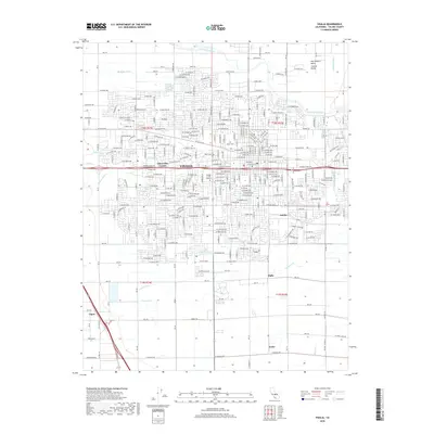
2018 Map of Visalia
USGS Topo · Published 2018About this map
The Saint Johns River and a complex network of irrigation channels define the agricultural landscape of this San Joaquin Valley region. Irrigation infrastructure, including Modoc Ditch, Mill Cr Ditch, and Persian Ditch, reflects the critical water management necessary for the valley's productivity. In the heart of the area, Visalia is documented during a period of modern expansion, shown alongside its educational and civic institutions like the College of the Sequoias and the Visalia Cem.
Find a feature on this map
170 named features on this map. Tap any name to fly to it.
Don’t see what you’re looking for? This feature index may not catch every label — zoom into the map to look around manually.
Map Details
Editions of this 2018 Visalia Map
This is the sole edition of this map. No revisions or reprints were ever made.
Other maps of this area

1925 · Tulare
USGS Topo · 1:31,680

1926 · Goshen
USGS Topo · 1:31,680

1926 · Ivanhoe
USGS Topo · 1:31,680

1926 · Exeter
USGS Topo · 1:31,680

1927 · Traver
USGS Topo · 1:31,680

1927 · Cairns Corner
USGS Topo · 1:31,680

1927 · Monson
USGS Topo · 1:31,680

1927 · Paige
USGS Topo · 1:31,680

1927 · Visalia
USGS Topo · 1:31,680

1927 · Tulare
USGS Topo · 1:31,680