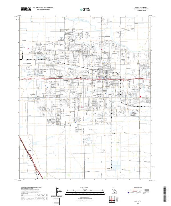
2021 Map of Visalia
USGS Topo · Published 2021About this map
The Visalia urban grid dominates this portion of the San Joaquin Valley, displaying a densely developed landscape at the heart of the Central Valley. This survey captures the city's growth around historical institutional anchors like the College of the Sequoias and the Tulare County Superior Court - Visalia Civic Center. Beyond the core, smaller outlying settlements such as Chinowths Corner, Ambler, and Tagus appear as distinct points within the agricultural and residential matrix.
Find a feature on this map
151 named features on this map. Tap any name to fly to it.
Don’t see what you’re looking for? This feature index may not catch every label — zoom into the map to look around manually.
Map Details
Editions of this 2021 Visalia Map
This is the sole edition of this map. No revisions or reprints were ever made.
Other maps of this area

1925 · Tulare
USGS Topo · 1:31,680

1926 · Goshen
USGS Topo · 1:31,680

1926 · Ivanhoe
USGS Topo · 1:31,680

1926 · Exeter
USGS Topo · 1:31,680

1927 · Traver
USGS Topo · 1:31,680

1927 · Cairns Corner
USGS Topo · 1:31,680

1927 · Monson
USGS Topo · 1:31,680

1927 · Paige
USGS Topo · 1:31,680

1927 · Visalia
USGS Topo · 1:31,680

1927 · Tulare
USGS Topo · 1:31,680