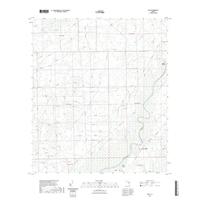
2021 Map of Vista
USGS Topo · Published 2021About this map
Fowlers Bluff and Yellow Jacket occupy the eastern bank of the Suwannee River in this coastal hammock and marshland environment. The landscape is defined by the river's winding path as it forms the boundary between Dixie Co and Levy Co. Much of the interior is dominated by hydrologic features like the California Swamp and California Cr, as well as geological depressions such as Lime Sink. This survey captures the rural infrastructure of the region, including the small settlement of Vista near the river's edge and the isolated Keen Cem. The intricate network of county roads, such as Co RD 349 and Sunny Vale Rd, provides access through the wetlands to the various riverfront landings and residential clusters. Small drainage features like Turkey Br and Cedar Br feed into the Suwannee, while Little Turkey Island sits within the main channel, illustrating the river's active shifting and deposition.
Find a feature on this map
107 named features on this map. Tap any name to fly to it.
Don’t see what you’re looking for? This feature index may not catch every label — zoom into the map to look around manually.
Map Details
Editions of this 2021 Vista Map
This is the sole edition of this map. No revisions or reprints were ever made.
Other maps of this area

1954 · Eugene
USGS Topo · 1:24,000

1954 · Cross City SW
USGS Topo · 1:24,000

1954 · Suwannee
USGS Topo · 1:24,000

1954 · Manatee Springs
USGS Topo · 1:24,000

1954 · Chiefland SW
USGS Topo · 1:24,000

1954 · Vista
USGS Topo · 1:24,000

1954 · East Pass
USGS Topo · 1:24,000

1954 · Gainesville
USGS Topo · 1:250,000

1955 · Shired Island
USGS Topo · 1:24,000

1958 · Gainesville
USGS Topo · 1:250,000