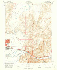
1957 Map of Vista
USGS Topo · Published 1959About this map
Sparks serves as the industrial and residential anchor at the western edge of this mid-century survey, where the grid of the city meets the Truckee River floodplain. The landscape is defined by the vital movement of water and freight, with the Southern Pacific tracks and Irrigation Ditch systems like the Orr Ditch cutting through the meadows. To the south, the Dominican Brothers Monastery stands near the confluence of Steamboat Creek, illustrating the local institutional presence alongside industrial infrastructure like the Sewage Disposal plant and numerous oil tanks.
Find a feature on this map
46 named features on this map. Tap any name to fly to it.
Don’t see what you’re looking for? This feature index may not catch every label — zoom into the map to look around manually.
Map Details
Editions of this 1957 Vista Map
2 editions found
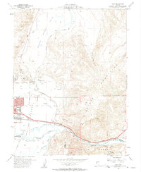
Other maps of this area

1891 · Carson
USGS Topo · 1:125,000

1891 · Reno
USGS Topo · 1:125,000

1893 · Carson
USGS Topo · 1:125,000

1893 · Reno
USGS Topo · 1:125,000

1950 · Virginia City
USGS Topo · 1:62,500

1950 · Mt. Rose
USGS Topo · 1:62,500

1950 · Reno
USGS Topo · 1:62,500

1951 · Reno
USGS Topo · 1:62,500

1952 · Mt. Rose
USGS Topo · 1:62,500

1952 · Virginia City
USGS Topo · 1:62,500