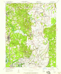
1956 Map of Vivian
USGS Topo · Published 1958About this map
Kelly Bayou and the Red River snake through this corner of Northwest Louisiana, where the early post-war landscape is defined by the booming Rodessa Gas Field. The corridor between Vivian and Rodessa shows a dense network of industrial development, with numerous oil wells and pipelines following the Kansas City Southern and Texas and Pacific rail lines. This industrial growth exists alongside a deeply rooted rural community, evidenced by the many local institutions such as North Caddo High Sch and Justice Chapel.
Find a feature on this map
101 named features on this map. Tap any name to fly to it.
Don’t see what you’re looking for? This feature index may not catch every label — zoom into the map to look around manually.
Map Details
Editions of this 1956 Vivian Map
2 editions found
Other maps of this area

1907 · Atlanta
USGS Topo · 1:62,500

1910 · Atlanta
USGS Topo · 1:62,500

1932 · Hosston NW
USGS Topo · 1:31,680

1932 · Hosston NE
USGS Topo · 1:31,680

1932 · Hosston SW
USGS Topo · 1:31,680

1932 · Hosston SE
USGS Topo · 1:31,680

1932 · Bossier NW
USGS Topo · 1:31,680

1932 · Shreveport NE
USGS Topo · 1:31,680

1944 · Kildare
USGS Topo · 1:62,500

1944 · Caddo Lake
USGS Topo · 1:62,500