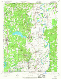
1956 Map of Vivian
USGS Topo · Published 1967About this map
The Vivian Oil Field and the surrounding Rodessa Gas Field dominate this mid-century landscape in northwestern Louisiana. The heavy industrial footprint of petroleum extraction is balanced by a dense network of country churches and rural schools, many of which were already marked as abandoned by the mid-1950s, such as the Rosenwald Sch and Galilee Sch. Along the eastern edge, the Red River carves a winding path through Dutch John Bottom, leaving behind numerous oxbow remnants like Old Bed Horseshoe Lake and Old Bed Posten Lake. Transport infrastructure is robust, with the Kansas City Southern RR and Texas and Pacific RR providing critical links for the timber and oil industries, while the Myrtis Mill and several local landing fields reflect the area's varied economic activity during this era of transition.
Find a feature on this map
118 named features on this map. Tap any name to fly to it.
Don’t see what you’re looking for? This feature index may not catch every label — zoom into the map to look around manually.
Map Details
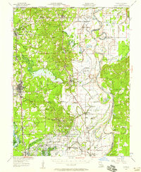
Editions of this 1956 Vivian Map
2 editions found
Other maps of this area

1907 · Atlanta
USGS Topo · 1:62,500

1910 · Atlanta
USGS Topo · 1:62,500

1932 · Hosston NW
USGS Topo · 1:31,680

1932 · Hosston NE
USGS Topo · 1:31,680

1932 · Hosston SW
USGS Topo · 1:31,680

1932 · Hosston SE
USGS Topo · 1:31,680

1932 · Bossier NW
USGS Topo · 1:31,680

1932 · Shreveport NE
USGS Topo · 1:31,680

1944 · Kildare
USGS Topo · 1:62,500

1944 · Caddo Lake
USGS Topo · 1:62,500