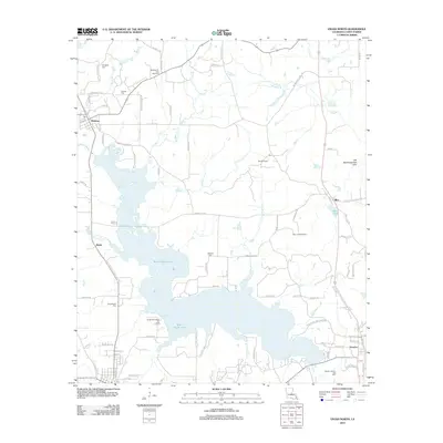
2012 Map of Vivian North
USGS Topo · Published 2012About this map
Rodessa and Hosston anchor this Caddo Parish landscape, where the petroleum industry and expansive wetlands define the local geography. The map documents the extensive oil and gas operations that have long driven the regional economy, specifically the Rodessa Oil and Gas Field, Mira Oil Field, and the Caddo Pine Island Oil Field. These industrial sites are interspersed with small settlements like Mira and Myrtis, the latter featuring Myrtis Mill Pond.
Find a feature on this map
91 named features on this map. Tap any name to fly to it.
Don’t see what you’re looking for? This feature index may not catch every label — zoom into the map to look around manually.
Map Details
Editions of this 2012 Vivian North Map
This is the sole edition of this map. No revisions or reprints were ever made.
Other maps of this area
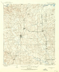
1907 · Atlanta
USGS Topo · 1:62,500
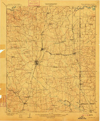
1910 · Atlanta
USGS Topo · 1:62,500
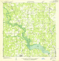
1932 · Hosston NW
USGS Topo · 1:31,680
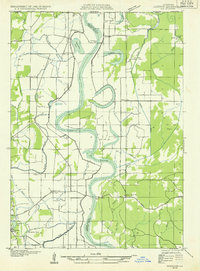
1932 · Hosston NE
USGS Topo · 1:31,680
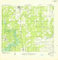
1932 · Hosston SW
USGS Topo · 1:31,680
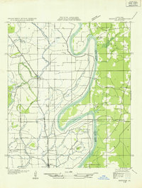
1932 · Hosston SE
USGS Topo · 1:31,680
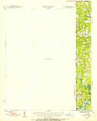
1944 · Kildare
USGS Topo · 1:62,500
1948 · Kildare
USGS Topo · 1:62,500
1948 · Vivian
USGS Topo · 1:62,500
1952 · Doddridge SE
USGS Topo · 1:24,000