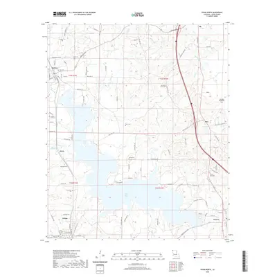
2020 Map of Vivian North
USGS Topo · Published 2020About this map
Black Bayou Lake dominates the central landscape of this Caddo Parish region, where the industrial legacy of the South is visible through infrastructure like Standard Oil Road 2. The settlement of Vivian anchors the southern portion of the map, while Rodessa and Ida sit to the north. This area is exceptionally dense with family and community burial sites, including the Slaughter Cem, Antioch Cem, and Paradise Church Cem, which offer significant value for genealogical research in this part of Louisiana. Waterways such as Myrtis Mill Cr and Hoss Cr drain into the sprawling lake system, illustrating the connection between the early timber and milling economy and the local hydrology. The road network, from Rodessa Ida Rd to Mira Myrtis Rd, reveals the historic links between small communities like Myrtis and Mira.
Find a feature on this map
108 named features on this map. Tap any name to fly to it.
Don’t see what you’re looking for? This feature index may not catch every label — zoom into the map to look around manually.
Map Details
Editions of this 2020 Vivian North Map
This is the sole edition of this map. No revisions or reprints were ever made.
Other maps of this area

1907 · Atlanta
USGS Topo · 1:62,500

1910 · Atlanta
USGS Topo · 1:62,500

1932 · Hosston NW
USGS Topo · 1:31,680

1932 · Hosston NE
USGS Topo · 1:31,680

1932 · Hosston SW
USGS Topo · 1:31,680

1932 · Hosston SE
USGS Topo · 1:31,680

1944 · Kildare
USGS Topo · 1:62,500

1948 · Kildare
USGS Topo · 1:62,500

1948 · Vivian
USGS Topo · 1:62,500

1952 · Doddridge SE
USGS Topo · 1:24,000