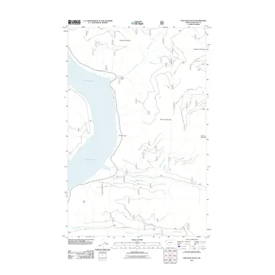
2011 Map of Volcour Gulch
USGS Topo · Published 2011About this map
Lake Koocanusa dominates the western landscape of this Lincoln County region, where the reservoir's shoreline meets the steep rises of the Kootenai National Forest. The terrain is defined by significant elevations such as Ellsworth Mountain in the north and Stenerson Mountain toward the center, creating a vertical landscape carved by numerous watercourses. Dramatic drops are noted at Tenmile Falls, while Volcour Gulch and Rocky Gulch provide drainage into the lake from the eastern slopes.
Find a feature on this map
24 named features on this map. Tap any name to fly to it.
Don’t see what you’re looking for? This feature index may not catch every label — zoom into the map to look around manually.
Map Details
Editions of this 2011 Volcour Gulch Map
This is the sole edition of this map. No revisions or reprints were ever made.
Other maps of this area

1920 · Jennings
USGS Topo · 1:125,000

1935 · Thompson Lakes
USGS Topo · 1:96,000

1942 · Thompson Lakes
USGS Topo · 1:125,000

1957 · Kalispell
USGS Topo · 1:250,000

1960 · Kalispell
USGS Topo · 1:250,000

1961 · Kalispell
USGS Topo · 1:250,000

1963 · Mc Guire Mountain
USGS Topo · 1:24,000

1963 · Davis Mountain
USGS Topo · 1:24,000

1963 · Warland Peak
USGS Topo · 1:24,000

1963 · Cripple Horse Mountain
USGS Topo · 1:24,000