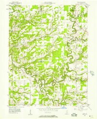
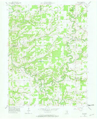
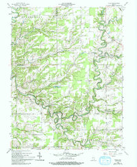
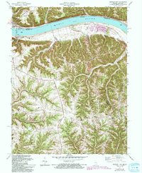
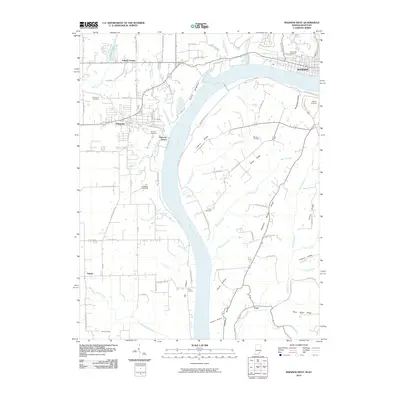
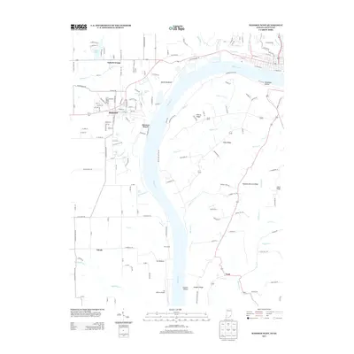
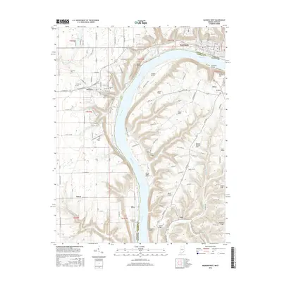
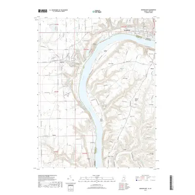
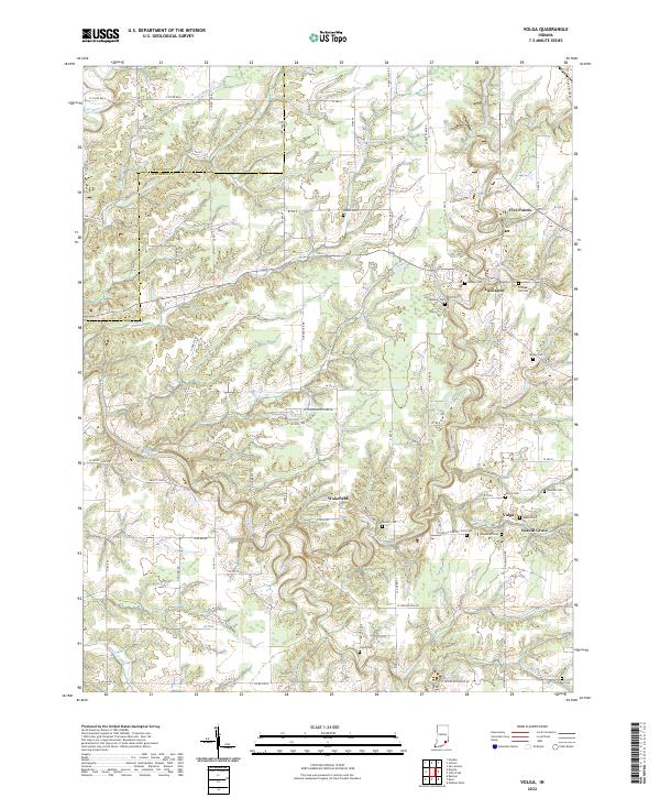
1956 Map of Volga
USGS Topo · Published 1973About this map
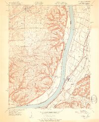
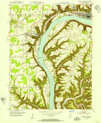
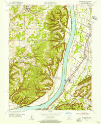
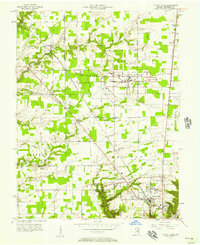
Big Graham Creek and Big Creek wind through the deeply dissected landscape of Jefferson and Jennings Counties, carving a complex network of valleys that define the local topography. This mid-century survey reveals a rural society anchored by small crossroads like Lancaster and Volga, where local identity is preserved in numerous country churches and family burial grounds. Notable institutional and community landmarks are scattered across the terrain, from the County Infirmary and Lookout Tower near Five Points to the sprawling Camp Louis Ernst Boy Scout Camp in the northern hills.
Find a feature on this map
48 named features on this map. Tap any name to fly to it.
Don’t see what you’re looking for? This feature index may not catch every label — zoom into the map to look around manually.
Map Details
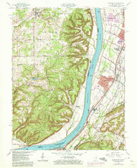
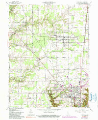
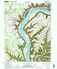
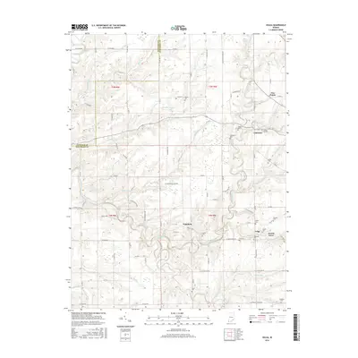
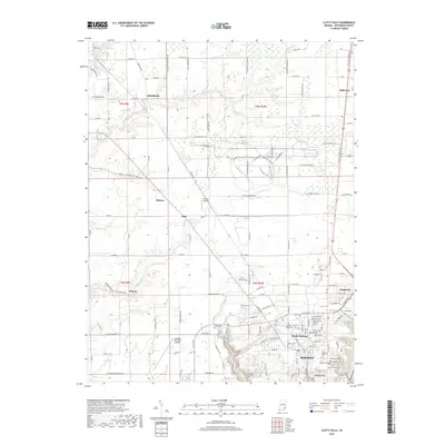
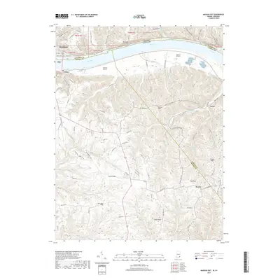
Editions of this 1956 Volga Map
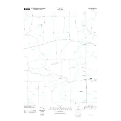
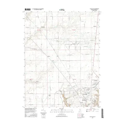
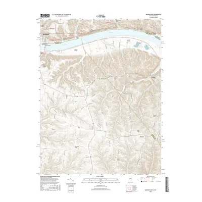
Historical Maps of Lancaster Through Time
32 maps found
1939 Madison West
Jefferson County, IN
1948 Madison West
Jefferson County, IN
1951 Kosmosdale
Jefferson County, IN
1953 Madison West
Jefferson County, IN
1955 Kosmosdale
Jefferson County, IN
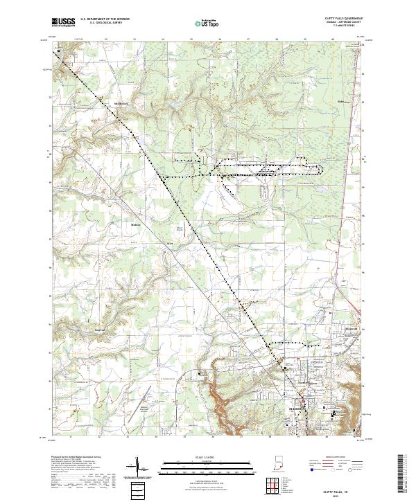
1956 Clifty Falls
Jefferson County, IN
1956 Volga
Jefferson County, IN
1960 Kosmosdale
Jefferson County, IN
1964 Clifty Falls
Jefferson County, IN
1964 Madison West
Jefferson County, IN
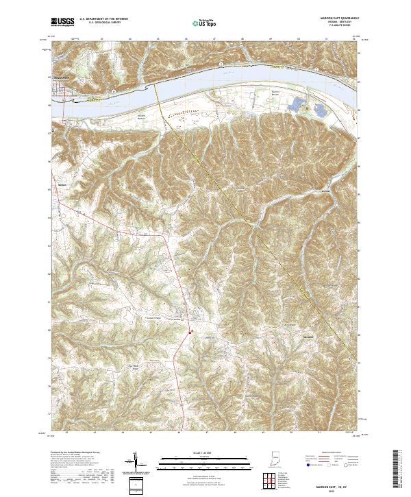
1971 Madison East
Jefferson County, IN
1992 Clifty Falls
Jefferson County, IN
2010 Clifty Falls
Jefferson County, IN
2010 Madison East
Jefferson County, IN
2010 Madison West
Jefferson County, IN
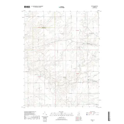
2010 Volga
Jefferson County, IN
2013 Clifty Falls
Jefferson County, IN
2013 Madison East
Jefferson County, IN
2013 Madison West
Jefferson County, IN
2013 Volga
Jefferson County, IN
2016 Clifty Falls
Jefferson County, IN
2016 Madison East
Jefferson County, IN
2016 Madison West
Jefferson County, IN
2016 Volga
Jefferson County, IN
2019 Clifty Falls
Jefferson County, IN
2019 Madison East
Jefferson County, IN
2019 Madison West
Jefferson County, IN
2019 Volga
Jefferson County, IN
2022 Clifty Falls
Jefferson County, IN
2022 Madison East
Jefferson County, IN
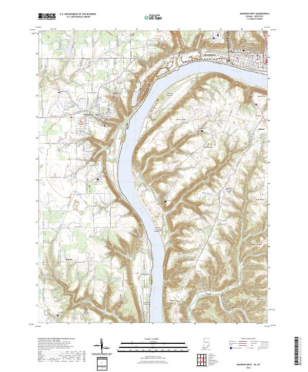
2022 Madison West
Jefferson County, IN
2022 Volga
Jefferson County, IN