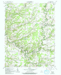
1956 Map of Volga
USGS Topo · Published 1993About this map
Big Graham Creek and the meandering Big Creek dominate this landscape of southern Indiana, where deeply etched drainage patterns define the boundaries of townships like Montgomery, Lancaster, and Smyrna. The map reflects a mid-century rural society organized around small crossroads and parish life, with centers such as Volga and Neavill Grove serving as local anchors. Notable institutional landmarks are present, including the County Infirmary and the Camp Louis Ernst Boy Scout Camp situated along the creek bends.
Find a feature on this map
46 named features on this map. Tap any name to fly to it.
Don’t see what you’re looking for? This feature index may not catch every label — zoom into the map to look around manually.
Map Details
Editions of this 1956 Volga Map
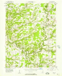
Other maps of this area

1939 · Madison West
USGS Topo · 1:24,000

1948 · Madison West
USGS Topo · 1:24,000

1953 · Madison West
USGS Topo · 1:24,000

1956 · Volga
USGS Topo · 1:24,000

1956 · Blocher
USGS Topo · 1:24,000

1956 · Kent
USGS Topo · 1:24,000

1956 · Deputy
USGS Topo · 1:24,000

1956 · Clifty Falls
USGS Topo · 1:24,000

1956 · Louisville
USGS Topo · 1:250,000

1959 · San Jacinto
USGS Topo · 1:24,000