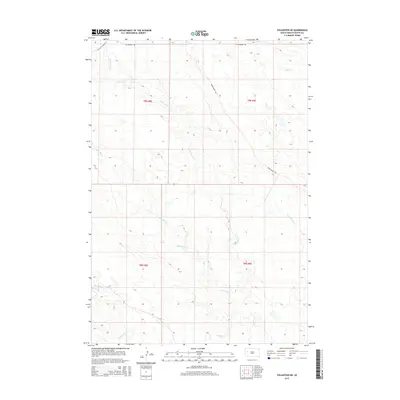
2015 Map of Volunteer NE
USGS Topo · Published 2015About this map
Station Elm Cr and its numerous tributaries dominate this interior landscape of Butte County, where the high plains of South Dakota are defined by a complex drainage network. The terrain is marked by the branching paths of Mud Elm Cr, Crooked Elm Cr, and Eightmile Cr, illustrating the watershed patterns typical of this semi-arid region. Human presence is delineated primarily through a sparse grid of rural roads and section boundaries. While Old US Highway 212 cuts across the northwest corner, the interior is served by W Fairpoint Rd and the descriptively named Bomb Range Rd. This map captures the essential character of the western South Dakota rangeland, where water sources and long-distance transport routes dictate the organization of the land.
Find a feature on this map
13 named features on this map. Tap any name to fly to it.
Don’t see what you’re looking for? This feature index may not catch every label — zoom into the map to look around manually.
Map Details
Editions of this 2015 Volunteer NE Map
This is the sole edition of this map. No revisions or reprints were ever made.
Other maps of this area

1913 · Newell
USGS Topo · 1:125,000

1951 · Volunteer
USGS Topo · 1:24,000

1951 · Volunteer SE
USGS Topo · 1:24,000

1953 · Rapid City
USGS Topo · 1:250,000

1957 · Rapid City
USGS Topo · 1:250,000

1959 · Fairpoint SW
USGS Topo · 1:24,000
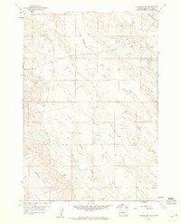
1959 · Volunteer NW
USGS Topo · 1:24,000
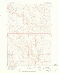
1959 · Volunteer NE
USGS Topo · 1:24,000

1959 · Fairpoint NW
USGS Topo · 1:24,000
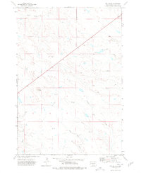
1973 · Owl Butte
USGS Topo · 1:24,000