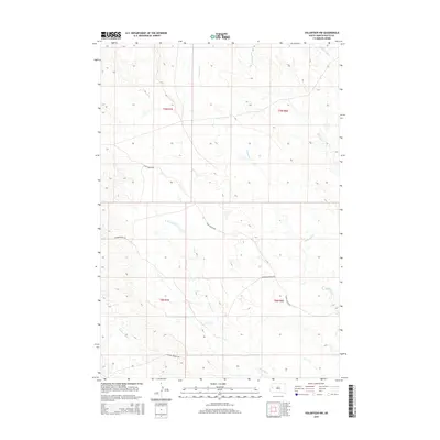
2015 Map of Volunteer NW
USGS Topo · Published 2015About this map
Eightmile Cr and its various tributaries define the drainage of this Butte County landscape, where the high plains meet the intricate network of the Elm Creek watershed. The territory is marked by the long-established ranch roads that navigate the subtle changes in elevation, including Hugo Reiche Rd and the distinctive Bismark Ranch Rd. This area, organized under townships t9n r7e and t8n r8e, illustrates the enduring land-use patterns of South Dakota's grazing country. Significant water management features like the Willow Cr Lateral indicate the importance of water rights and irrigation in this semi-arid environment. The presence of Station Elm Cr and Fourmile Cr suggests a landscape historically vital to cattle operations and early western commerce, where access to these drainage points dictated the placement of trails and homesteads.
Find a feature on this map
12 named features on this map. Tap any name to fly to it.
Don’t see what you’re looking for? This feature index may not catch every label — zoom into the map to look around manually.
Map Details
Editions of this 2015 Volunteer NW Map
This is the sole edition of this map. No revisions or reprints were ever made.
Other maps of this area

1906 · Vale
USGS Topo · 1:62,500

1913 · Newell
USGS Topo · 1:125,000

1951 · Volunteer
USGS Topo · 1:24,000

1951 · Volunteer SE
USGS Topo · 1:24,000

1951 · Vale SE
USGS Topo · 1:24,000

1951 · Vale NE
USGS Topo · 1:24,000

1951 · Vale
USGS Topo · 1:62,500

1953 · Rapid City
USGS Topo · 1:250,000

1957 · Rapid City
USGS Topo · 1:250,000
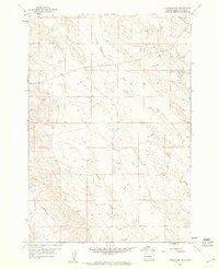
1959 · Volunteer NW
USGS Topo · 1:24,000