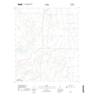
2019 Map of Voss
USGS Topo · Published 2019About this map
Voss serves as the primary settlement on this Central Texas landscape, situated at a junction of rural routes where the terrain begins to drop toward the Colorado River valley. The water management infrastructure of the region is prominently displayed through a series of engineered catchments, including Soil Conservation Service Site 12 Reservoir, Site 14 Reservoir, and several others that dot the drainages of Panther Cr and Mercer Cr. In the southwest, the reach of the O. H. Ivie Reservoir impacts the local topography near Featherston Lake, marking the intersection of the Coleman and Concho county lines. Local genealogy is anchored by the Hill Cem, located near the natural landform of Rawhide Draw, while the distinctive Horseshoe Bend illustrates the winding path of the local waterways before they reach the larger reservoir systems.
Find a feature on this map
38 named features on this map. Tap any name to fly to it.
Don’t see what you’re looking for? This feature index may not catch every label — zoom into the map to look around manually.
Map Details
Editions of this 2019 Voss Map
This is the sole edition of this map. No revisions or reprints were ever made.
Other maps of this area

1887 · Coleman
USGS Topo · 1:125,000

1889 · Coleman
USGS Topo · 1:125,000

1892 · Eden
USGS Topo · 1:125,000

1892 · Ballinger
USGS Topo · 1:125,000

1894 · Brady
USGS Topo · 1:125,000

1896 · Eden
USGS Topo · 1:125,000

1924 · Eden 1-a
USGS Topo · 1:48,000

1925 · Brady 2-b
USGS Topo · 1:48,000

1925 · Ballinger 4-c
USGS Topo · 1:48,000

1928 · Waldrip
USGS Topo · 1:62,500