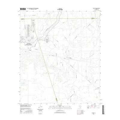
2016 Map of Votaw
USGS Topo · Published 2016About this map
Big Thicket National Preserve dominates the western landscape of this Southeast Texas quadrangle, where the borders of Polk, Liberty, and Hardin counties converge. The small settlements of Votaw and Thicket sit along the southeastern corridor, while Fuqua occupies a position near the western boundary. This territory is defined by an intricate network of watercourses, most notably the meandering Pine Island Bayou and Little Pine Island Bayou, which drain the low-lying wetlands.
Find a feature on this map
75 named features on this map. Tap any name to fly to it.
Don’t see what you’re looking for? This feature index may not catch every label — zoom into the map to look around manually.
Map Details
Editions of this 2016 Votaw Map
This is the sole edition of this map. No revisions or reprints were ever made.
Other maps of this area

1943 · Liberty
USGS Topo · 1:125,000

1954 · Beaumont
USGS Topo · 1:250,000

1955 · Saratoga
USGS Topo · 1:62,500

1955 · Rayburn
USGS Topo · 1:62,500

1957 · Beaumont
USGS Topo · 1:250,000

1958 · Livingston
USGS Topo · 1:62,500

1958 · Segno
USGS Topo · 1:62,500

1984 · Segno
USGS Topo · 1:24,000

1984 · Beaumont
USGS Topo · 1:250,000

1984 · Jacks Creek South
USGS Topo · 1:24,000