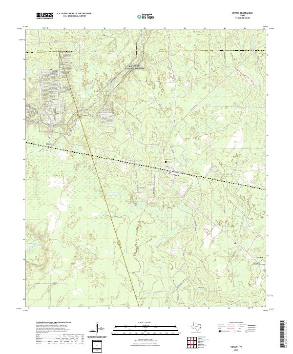
2022 Map of Votaw
USGS Topo · Published 2022About this map
The dense East Texas woodlands of the Big Thicket National Preserve dominate this survey, where the low-lying terrain is defined by the wandering paths of Pine Island Bayou and Little Pine Island Bayou. The settlement of Votaw sits centrally at a junction of regional roads, containing the Votaw Cem as a focal point for local genealogy. To the west, the community of Fuqua lies near the bends of Menard Cr, while Thicket occupies the southeastern corner.
Find a feature on this map
84 named features on this map. Tap any name to fly to it.
Don’t see what you’re looking for? This feature index may not catch every label — zoom into the map to look around manually.
Map Details
Editions of this 2022 Votaw Map
This is the sole edition of this map. No revisions or reprints were ever made.
Other maps of this area

1943 · Liberty
USGS Topo · 1:125,000

1954 · Beaumont
USGS Topo · 1:250,000

1955 · Saratoga
USGS Topo · 1:62,500

1955 · Rayburn
USGS Topo · 1:62,500

1957 · Beaumont
USGS Topo · 1:250,000

1958 · Livingston
USGS Topo · 1:62,500

1958 · Segno
USGS Topo · 1:62,500

1984 · Segno
USGS Topo · 1:24,000

1984 · Beaumont
USGS Topo · 1:250,000

1984 · Jacks Creek South
USGS Topo · 1:24,000