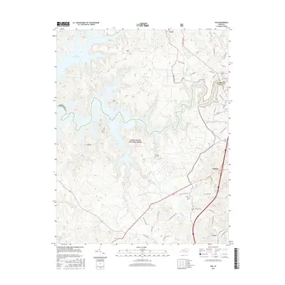
2016 Map of Vox
USGS Topo · Published 2016About this map
The rugged landscape of the Daniel Boone National Forest dominates this topographic view, where the winding inlets of Laurel River Lake carve into the hills of Laurel and Whitley counties. The map captures the interface between the protected forest wilderness and the expanding edge of Corbin, showing a network of rural roads that connect small communities such as Keavy, Vox, and Faber. These settlements are linked by historic routes like Laurel Lake Rd and Bacon Creek Rd, reflecting a landscape shaped by both the timber-rich terrain and the development around the reservoir. Local history is anchored by several family and community landmarks, including Chestnut Grove Cem, Corinth Cem, and McFarland Cem, which provide specific points of interest for genealogical research in this part of southeastern Kentucky. The numerous drainages, such as Little Spruce Cr and Whippoorwill Cr, detail the complex hydrology of the Cumberland Plateau foothills.
Find a feature on this map
53 named features on this map. Tap any name to fly to it.
Don’t see what you’re looking for? This feature index may not catch every label — zoom into the map to look around manually.
Map Details
Editions of this 2016 Vox Map
This is the sole edition of this map. No revisions or reprints were ever made.
Other maps of this area

1890 · Williamsburg
USGS Topo · 1:125,000

1893 · London
USGS Topo · 1:125,000

1894 · Williamsburg
USGS Topo · 1:125,000

1897 · London
USGS Topo · 1:125,000

1952 · Corbin
USGS Topo · 1:24,000

1952 · Wofford
USGS Topo · 1:24,000

1952 · Lily
USGS Topo · 1:24,000

1952 · London SW
USGS Topo · 1:24,000

1952 · Vox
USGS Topo · 1:24,000

1952 · Ano
USGS Topo · 1:24,000