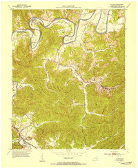
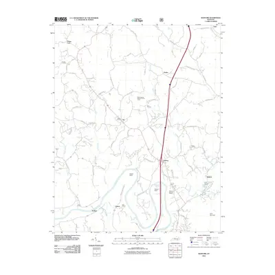
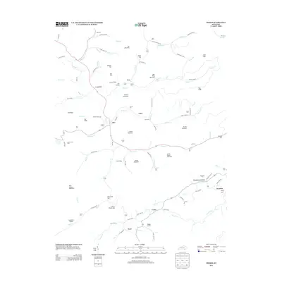
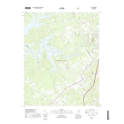
1979 Map of Vox
USGS Topo · Published 1983About this map
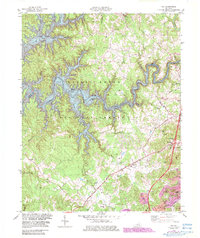
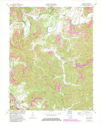
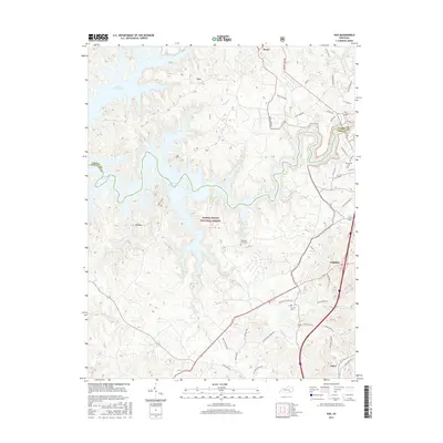
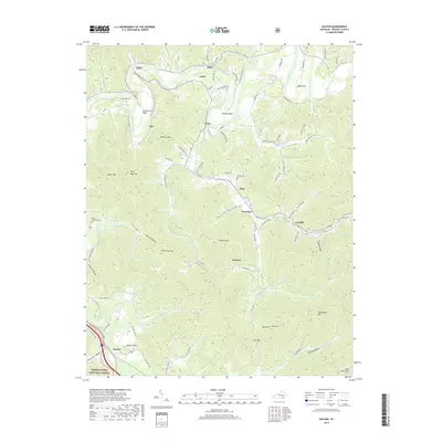
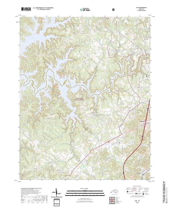
Laurel River Lake dominates this portion of the Daniel Boone National Forest, its meandering fingers reaching into deep drainages like Rogers Creek and Spruce Creek. The landscape is a transition from the protected forest lands in the west to the industrial and transportation corridors of Corbin in the east. Along the margins of the forest, small communities such as Vox and Faber are connected by a network of winding roads and the Louisville and Nashville railroad line. Local social life is anchored by numerous rural institutions, including Steele Chapel, Antioch Ch, and the Corbin Speedway. Evidence of the region's extractive economy is visible in the Strip Mines located near the southern border, while the recreational shift of the late 20th century is marked by the White Oak Campground and several boat ramps serving the reservoir.
Find a feature on this map
48 named features on this map. Tap any name to fly to it.
Don’t see what you’re looking for? This feature index may not catch every label — zoom into the map to look around manually.
Map Details
Editions of this 1979 Vox Map
2 editions found
Historical Maps of Corbin Through Time
34 maps found
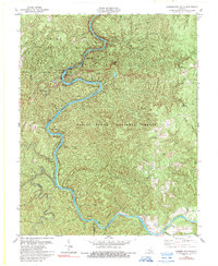
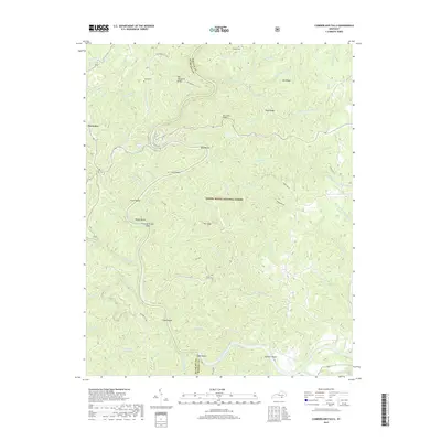
1952 Cumberland Falls
Whitley County, KY
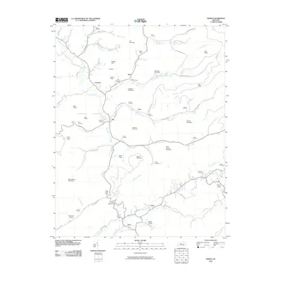
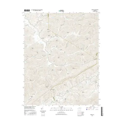
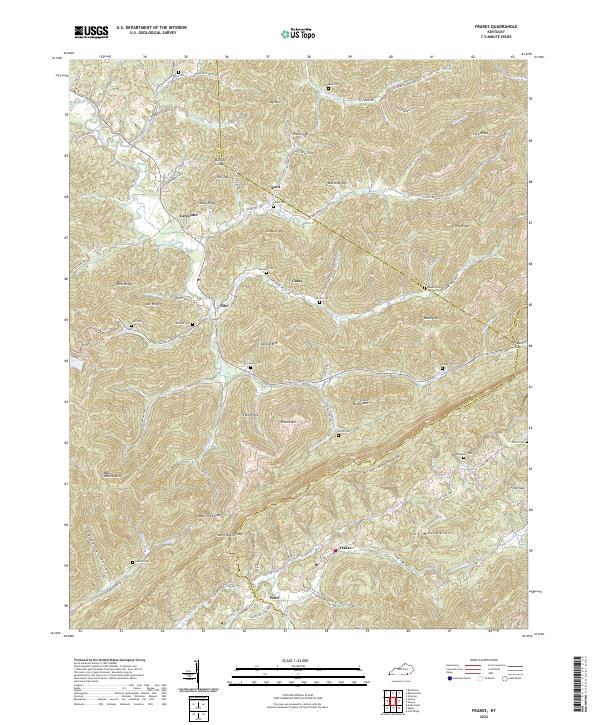
1952 Frakes
Whitley County, KY
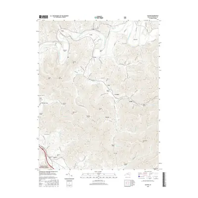
1952 Saxton
Whitley County, KY
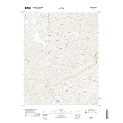
1952 Vox
Whitley County, KY
1952 Wofford
Whitley County, KY
1969 Wofford
Whitley County, KY
1970 Saxton
Whitley County, KY
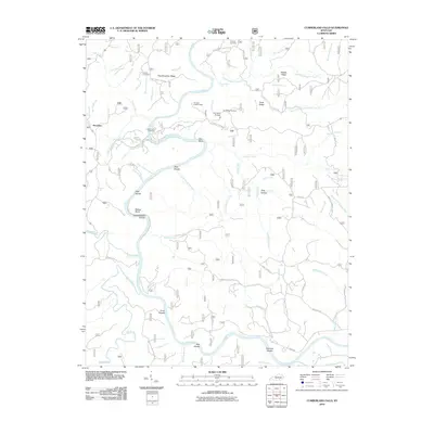
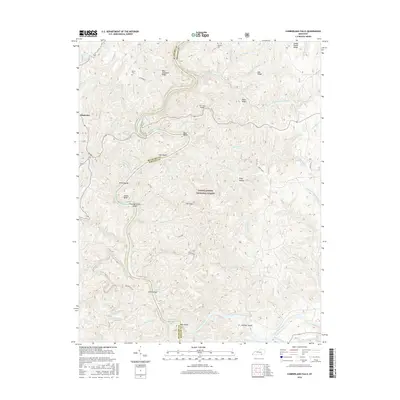
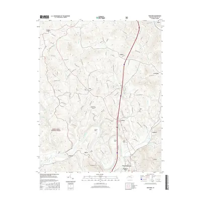
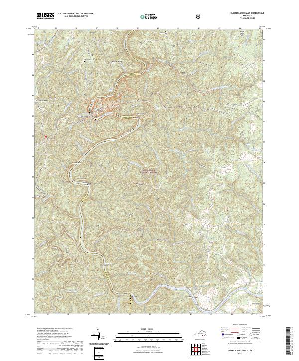
1979 Cumberland Falls
Whitley County, KY
1979 Vox
Whitley County, KY
2010 Cumberland Falls
Whitley County, KY
2010 Frakes
Whitley County, KY
2010 Wofford
Whitley County, KY
2011 Saxton
Whitley County, KY
2011 Vox
Whitley County, KY
2013 Cumberland Falls
Whitley County, KY
2013 Frakes
Whitley County, KY
2013 Saxton
Whitley County, KY
2013 Vox
Whitley County, KY
2013 Wofford
Whitley County, KY
2016 Cumberland Falls
Whitley County, KY
2016 Frakes
Whitley County, KY
2016 Saxton
Whitley County, KY
2016 Vox
Whitley County, KY
2016 Wofford
Whitley County, KY
2019 Cumberland Falls
Whitley County, KY
2019 Frakes
Whitley County, KY
2019 Saxton
Whitley County, KY
2019 Vox
Whitley County, KY
2019 Wofford
Whitley County, KY
2022 Cumberland Falls
Whitley County, KY
2022 Frakes
Whitley County, KY
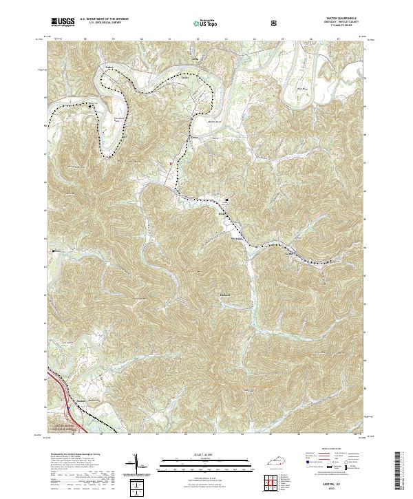
2022 Saxton
Whitley County, KY
2022 Vox
Whitley County, KY
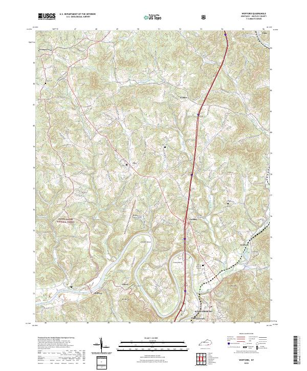
2022 Wofford
Whitley County, KY