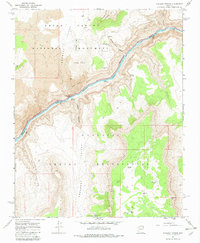
1967 Map of Vulcans Throne
USGS Topo · Published 1982About this map
Vulcans Throne stands as a prominent landmark overlooking the Colorado River in this 1967 survey of the Arizona backcountry. The landscape is defined by the meeting of the Grand Canyon National Monument and the Hualapai Indian Reservation, separated by the river’s winding course. This era shows a network of remote trails and jeep trails navigating through Toroweap Valley and along the formidable Toroweap Cliffs. Significant water sources like Warm Springs and Honga Springs appear near the river, which features the turbulent Lava Falls Rapids. To the south, the Aubrey Cliffs and Mohawk Rim frame the Prospect Valley, where isolated watering points such as Mustang Tank and Elk Tank indicate the vital infrastructure required for movement through this arid corridor.
Find a feature on this map
30 named features on this map. Tap any name to fly to it.
Don’t see what you’re looking for? This feature index may not catch every label — zoom into the map to look around manually.
Map Details
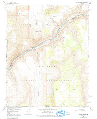
Editions of this 1967 Vulcans Throne Map
3 editions found
Other maps of this area

1886 · Mt. Trumbull
USGS Topo · 1:250,000

1886 · Kaibab
USGS Topo · 1:250,000

1892 · Mt. Trumbull
USGS Topo · 1:250,000

1953 · Grand Canyon
USGS Topo · 1:250,000

1957 · Grand Canyon
USGS Topo · 1:250,000

1958 · Grand Canyon
USGS Topo · 1:250,000

1960 · Grand Canyon
USGS Topo · 1:250,000

1962 · Tuckup Canyon
USGS Topo · 1:62,500

1962 · National Canyon
USGS Topo · 1:62,500
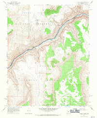
1967 · Vulcans Throne
USGS Topo · 1:24,000