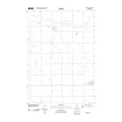
2010 Map of Wabasso
USGS Topo · Published 2010About this map
Seaforth and Wabasso anchor this Redwood County landscape, appearing here as they were organized in the early 21st century. The terrain is defined by a sophisticated water management network, where the natural winding paths of the Redwood River and Clear Creek are augmented by extensive agricultural drainage systems like County Ditch Number One Hundred and County Ditch Number Ninety. These engineered waterways illustrate the intensive agricultural history of the region, ensuring the productivity of the surrounding prairie lands. Local history and genealogy are centered around sites such as Saint Marys Cemetery and Saint Pauls Cemetery near Seaforth. The map also documents essential community infrastructure, from the Wabasso Post Office to the Fuhr Flying Service Airport, reflecting a rural economy that balances traditional farming with modern aviation and service needs.
Find a feature on this map
34 named features on this map. Tap any name to fly to it.
Don’t see what you’re looking for? This feature index may not catch every label — zoom into the map to look around manually.
Map Details
Editions of this 2010 Wabasso Map
This is the sole edition of this map. No revisions or reprints were ever made.
Other maps of this area

1952 · Redwood Falls
USGS Topo · 1:62,500

1953 · New Ulm
USGS Topo · 1:250,000

1957 · New Ulm
USGS Topo · 1:250,000

1958 · New Ulm
USGS Topo · 1:250,000

1965 · Echo
USGS Topo · 1:24,000

1965 · Belview
USGS Topo · 1:24,000

1967 · New Ulm
USGS Topo · 1:250,000

1967 · Wanda
USGS Topo · 1:24,000

1967 · Wabasso SE
USGS Topo · 1:24,000

1967 · Wabasso
USGS Topo · 1:24,000