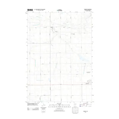
2013 Map of Wabasso
USGS Topo · Published 2013About this map
The Redwood River meanders through the northern section of this Redwood County landscape, where the agricultural grid is deeply integrated with a complex drainage system. Engineered waterways like County Ditch Number One Hundred and County Ditch Number Ninety segment the terrain, supporting the farmsteads that define the region's economy. The small settlement of Seaforth sits near the river's path, while the larger community of Wabasso anchors the southern portion along MN-68.
Find a feature on this map
35 named features on this map. Tap any name to fly to it.
Don’t see what you’re looking for? This feature index may not catch every label — zoom into the map to look around manually.
Map Details
Editions of this 2013 Wabasso Map
This is the sole edition of this map. No revisions or reprints were ever made.
Other maps of this area

1952 · Redwood Falls
USGS Topo · 1:62,500

1953 · New Ulm
USGS Topo · 1:250,000

1957 · New Ulm
USGS Topo · 1:250,000

1958 · New Ulm
USGS Topo · 1:250,000

1965 · Echo
USGS Topo · 1:24,000

1965 · Belview
USGS Topo · 1:24,000

1967 · New Ulm
USGS Topo · 1:250,000

1967 · Wanda
USGS Topo · 1:24,000

1967 · Wabasso SE
USGS Topo · 1:24,000

1967 · Wabasso
USGS Topo · 1:24,000