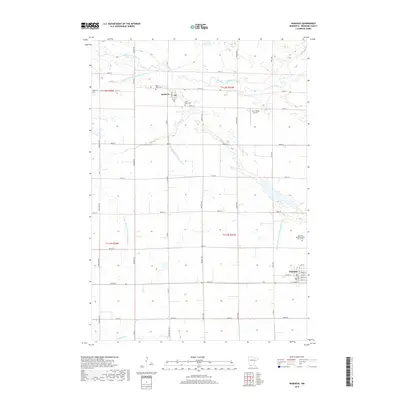
2019 Map of Wabasso
USGS Topo · Published 2019About this map
Seaforth and Wabasso anchor this Redwood County landscape, defined by the winding course of the Redwood River and an extensive network of managed waterways. The agricultural character of the region is evident in the systematic numbering of drainage infrastructure, such as County Ditch Number One Hundred and County Ditch Number Seventythree, which support the grid-based farm sections. For family historians, several burial sites are documented across the plains, including Saint Marys Cem, Saint Pauls Cem, and the specific John and Apollenea Daub Family Plot located east of the main settlements. The local economy and transportation are further represented by Fuhr Flying Service, situated among the section roads and tributary streams like Clear Cr and Sleepy Eye Cr.
Find a feature on this map
45 named features on this map. Tap any name to fly to it.
Don’t see what you’re looking for? This feature index may not catch every label — zoom into the map to look around manually.
Map Details
Editions of this 2019 Wabasso Map
This is the sole edition of this map. No revisions or reprints were ever made.
Other maps of this area

1952 · Redwood Falls
USGS Topo · 1:62,500

1953 · New Ulm
USGS Topo · 1:250,000

1957 · New Ulm
USGS Topo · 1:250,000

1958 · New Ulm
USGS Topo · 1:250,000

1965 · Echo
USGS Topo · 1:24,000

1965 · Belview
USGS Topo · 1:24,000

1967 · New Ulm
USGS Topo · 1:250,000

1967 · Wanda
USGS Topo · 1:24,000

1967 · Wabasso SE
USGS Topo · 1:24,000

1967 · Wabasso
USGS Topo · 1:24,000