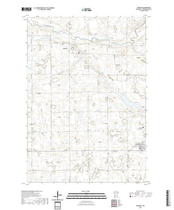
2022 Map of Wabasso
USGS Topo · Published 2022About this map
The Redwood River meanders across the northern portion of this Redwood County landscape, where the small settlement of Seaforth sits near its banks. Further south, the city of Wabasso serves as a local hub at the intersection of Co Rd 6 and Co Rd 7. This area is defined by its agricultural management, evidenced by the extensive network of drainage features such as County Ditch Number Fifty and County Ditch Number Twentyone. For family historians, the map identifies several significant burial sites, including Saint Marys Cem, Saint Pauls Cem, and the specific John and Apollonea Daub Family Plot. The presence of Fuhr Flying Service and a grid of rural roads like Harvest Ave and Ideal Ave reflect the modern infrastructure of this prairie region, while Sleepy Eye Cr drains the southern fields.
Find a feature on this map
36 named features on this map. Tap any name to fly to it.
Don’t see what you’re looking for? This feature index may not catch every label — zoom into the map to look around manually.
Map Details
Editions of this 2022 Wabasso Map
This is the sole edition of this map. No revisions or reprints were ever made.
Other maps of this area

1952 · Redwood Falls
USGS Topo · 1:62,500

1953 · New Ulm
USGS Topo · 1:250,000

1957 · New Ulm
USGS Topo · 1:250,000

1958 · New Ulm
USGS Topo · 1:250,000

1965 · Echo
USGS Topo · 1:24,000

1965 · Belview
USGS Topo · 1:24,000

1967 · New Ulm
USGS Topo · 1:250,000

1967 · Wanda
USGS Topo · 1:24,000

1967 · Wabasso SE
USGS Topo · 1:24,000

1967 · Wabasso
USGS Topo · 1:24,000