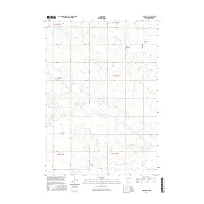
2016 Map of Wabasso SW
USGS Topo · Published 2016About this map
The Cottonwood River meanders across this rural section of Redwood County, shaping a landscape defined by its waterways and agricultural grid. The township boundaries of North Hero and Johnsonville are traced here, revealing a distribution of local heritage sites including North Hero Cem and Trinity Cem. In the northern reaches, Gales Lake serves as a prominent hydraulic feature near the junction of several section-line roads. The density of small cemeteries like Johnsonville Township Cem and Johnsonville Cem reflects the distributed settlement pattern of the region's farming communities. Tributaries such as Lone Tree Cr and Plum Cr feed the larger river system, cutting through the prairie terrain and influencing the placement of the rural road network that includes Co Rd 4 and Co Rd 52.
Find a feature on this map
25 named features on this map. Tap any name to fly to it.
Don’t see what you’re looking for? This feature index may not catch every label — zoom into the map to look around manually.
Map Details
Editions of this 2016 Wabasso SW Map
This is the sole edition of this map. No revisions or reprints were ever made.
Other maps of this area

1953 · New Ulm
USGS Topo · 1:250,000

1957 · New Ulm
USGS Topo · 1:250,000

1958 · New Ulm
USGS Topo · 1:250,000

1962 · Milroy SE
USGS Topo · 1:24,000

1962 · Milroy
USGS Topo · 1:24,000

1967 · New Ulm
USGS Topo · 1:250,000

1967 · Wabasso SE
USGS Topo · 1:24,000

1967 · Wabasso
USGS Topo · 1:24,000

1967 · Walnut Grove
USGS Topo · 1:24,000

1967 · Tracy East
USGS Topo · 1:24,000