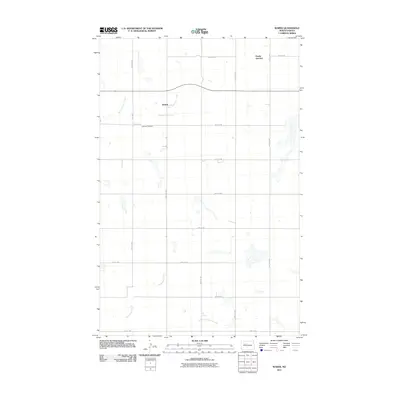
2011 Map of Wabek
USGS Topo · Published 2011About this map
Wabek and Prairie Junction stand as small focal points within this rural North Dakota landscape, situated along a grid of section roads like 65th Ave NW and 40th St NW. The terrain is defined by the headwaters and branches of significant local drainages, including East Fork Shell Creek in the north and the converging paths of Deepwater Creek and East Fork Deepwater Creek to the south. This 2011 survey captures a quiet agricultural era where the placement of the Lutheran Cemetery suggests the deep-rooted community ties of early settlers in Mountrail County. The map provides a clear record of land divisions and water features before the intensification of modern development, making it a valuable resource for tracing family homesteads or understanding the natural hydrology of the plains.
Find a feature on this map
19 named features on this map. Tap any name to fly to it.
Don’t see what you’re looking for? This feature index may not catch every label — zoom into the map to look around manually.
Map Details
Editions of this 2011 Wabek Map
This is the sole edition of this map. No revisions or reprints were ever made.
Other maps of this area

1953 · Williston
USGS Topo · 1:250,000

1953 · Watford City
USGS Topo · 1:250,000

1954 · Minot
USGS Topo · 1:250,000

1954 · McClusky
USGS Topo · 1:250,000

1956 · Makoti SW
USGS Topo · 1:24,000

1956 · Roseglen
USGS Topo · 1:24,000

1957 · Williston
USGS Topo · 1:250,000

1957 · Watford City
USGS Topo · 1:250,000

1958 · McClusky
USGS Topo · 1:250,000

1958 · Minot
USGS Topo · 1:250,000