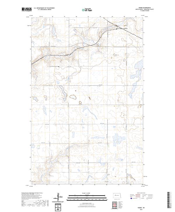
2024 Map of Wabek
USGS Topo · Published 2024About this map
The small settlement of Wabek and the nearby Prairie Junction define this agricultural landscape in Mountrail County. The terrain is characterized by numerous small prairie wetlands and glacial potholes that dot the townships of t152n r88w and t151n r88w. Local genealogy and community history center on the First Lutheran Wabek Cem, a significant landmark for those tracing family roots in this corner of the state. Water features are critical to the geography here, with the meandering East Fork Shell Creek in the north and the headwaters of Deepwater Creek and the East Fork Deepwater Creek flowing through the southern sections. A precise grid of section roads, such as 40th St NW and 65th Ave NW, provides access to the surrounding farmsteads and fields that have long sustained this region.
Find a feature on this map
23 named features on this map. Tap any name to fly to it.
Don’t see what you’re looking for? This feature index may not catch every label — zoom into the map to look around manually.
Map Details
Editions of this 2024 Wabek Map
This is the sole edition of this map. No revisions or reprints were ever made.
Other maps of this area

1953 · Williston
USGS Topo · 1:250,000

1953 · Watford City
USGS Topo · 1:250,000

1954 · Minot
USGS Topo · 1:250,000

1954 · McClusky
USGS Topo · 1:250,000

1956 · Makoti SW
USGS Topo · 1:24,000

1956 · Roseglen
USGS Topo · 1:24,000

1957 · Williston
USGS Topo · 1:250,000

1957 · Watford City
USGS Topo · 1:250,000

1958 · McClusky
USGS Topo · 1:250,000

1958 · Minot
USGS Topo · 1:250,000