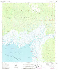
1955 Map of Waccasassa Bay
USGS Topo · Published 1988About this map
Gulf Hammock dominates this coastal landscape, where the dense Florida wetlands meet the tidal reaches of the Gulf of Mexico. This 1955 survey illustrates a wilderness defined by an intricate network of waterways, including the Waccasassa River and its connection to the Wekiva River. Evidence of early 20th-century industry persists through the Old Railroad Grade, which once facilitated the extraction of timber from these remote swamps.
Find a feature on this map
44 named features on this map. Tap any name to fly to it.
Don’t see what you’re looking for? This feature index may not catch every label — zoom into the map to look around manually.
Map Details
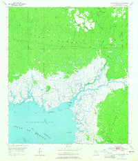
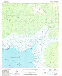
Editions of this 1955 Waccasassa Bay Map
4 editions found
Other maps of this area

1954 · Otter Creek
USGS Topo · 1:24,000

1954 · Chiefland SW
USGS Topo · 1:24,000

1954 · Bronson SW
USGS Topo · 1:24,000

1954 · Gainesville
USGS Topo · 1:250,000

1955 · Lebanon Station
USGS Topo · 1:24,000

1955 · Withlacoochee Bay
USGS Topo · 1:24,000

1955 · Waccasassa Bay
USGS Topo · 1:24,000

1955 · Yankeetown
USGS Topo · 1:24,000

1955 · Sumner
USGS Topo · 1:24,000

1958 · Gainesville
USGS Topo · 1:250,000