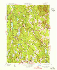
1946 Map of Wachusett Mtn
USGS Topo · Published 1946About this map
The rocky heights of Wachusett Mtn State Reservation dominate this mid-century landscape, a region defined by its prominent hills and critical water infrastructure. Centered on the town of Princeton, the map reveals a post-war rural economy still closely tied to the Boston and Maine Railroad, with stops at Hubbardston Sta and Princeton Sta serving local residents. The southern portion of the sheet highlights significant healthcare sites, specifically the State Sanitorium and the Central New England Sanitorium near Rutland.
Find a feature on this map
85 named features on this map. Tap any name to fly to it.
Don’t see what you’re looking for? This feature index may not catch every label — zoom into the map to look around manually.
Map Details
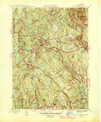
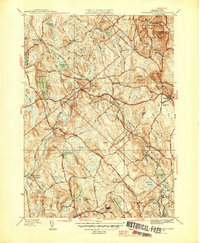
Editions of this 1946 Wachusett Mtn Map
3 editions found
Other maps of this area

1885 · Worcester
USGS Topo · 1:62,500

1886 · Worcester
USGS Topo · 1:62,500

1887 · Winchendon
USGS Topo · 1:62,500

1887 · Barre
USGS Topo · 1:62,500

1887 · Fitchburg
USGS Topo · 1:62,500

1889 · Fitchburg
USGS Topo · 1:62,500

1889 · Barre
USGS Topo · 1:62,500

1890 · Winchendon
USGS Topo · 1:62,500

1892 · Worcester
USGS Topo · 1:62,500

1893 · Fitchburg
USGS Topo · 1:62,500