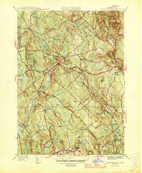
1946 Map of Wachusett Mtn
USGS Topo · Published 1946About this map
Wachusett Mountain dominates the northeast corner of this mid-century central Massachusetts landscape, serving as the anchor for the surrounding Wachusett Mtn State Reservation. The area's mid-century character is defined by a mix of high-altitude peaks like Little Wachusett and a complex water management infrastructure, most notably the path of the Quabbin Aqueduct with several access points including Shaft 5 and Shaft 6.
Find a feature on this map
90 named features on this map. Tap any name to fly to it.
Don’t see what you’re looking for? This feature index may not catch every label — zoom into the map to look around manually.
Map Details
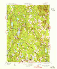
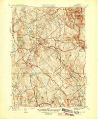
Editions of this 1946 Wachusett Mtn Map
3 editions found
Other maps of this area

1885 · Worcester
USGS Topo · 1:62,500

1886 · Worcester
USGS Topo · 1:62,500

1887 · Winchendon
USGS Topo · 1:62,500

1887 · Barre
USGS Topo · 1:62,500

1887 · Fitchburg
USGS Topo · 1:62,500

1889 · Fitchburg
USGS Topo · 1:62,500

1889 · Barre
USGS Topo · 1:62,500

1890 · Winchendon
USGS Topo · 1:62,500

1892 · Worcester
USGS Topo · 1:62,500

1893 · Fitchburg
USGS Topo · 1:62,500