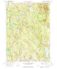
1972 Map of Wachusett Mtn
USGS Topo · Published 1974About this map
Wachusett Mountain dominates this Central Massachusetts landscape, anchored by the Wachusett Mountain State Reservation and the nearby Minns Wildlife Sanctuary. The 1972 data reveals a region defined by its water management and elevation, with the massive Quabbin Aqueduct running underground through Shaft No 6 and Shaft No 5 to support distant populations. Small settlements like North Rutland and New Boston sit near the winding Ware River, while educational landmarks such as Becker Jr College and the Devereux Sch are established near Rutland.
Find a feature on this map
119 named features on this map. Tap any name to fly to it.
Don’t see what you’re looking for? This feature index may not catch every label — zoom into the map to look around manually.
Map Details
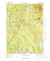
Editions of this 1972 Wachusett Mtn Map
2 editions found
Other maps of this area

1885 · Worcester
USGS Topo · 1:62,500

1886 · Worcester
USGS Topo · 1:62,500

1887 · Winchendon
USGS Topo · 1:62,500

1887 · Barre
USGS Topo · 1:62,500

1887 · Fitchburg
USGS Topo · 1:62,500

1889 · Fitchburg
USGS Topo · 1:62,500

1889 · Barre
USGS Topo · 1:62,500

1890 · Winchendon
USGS Topo · 1:62,500

1892 · Worcester
USGS Topo · 1:62,500

1893 · Fitchburg
USGS Topo · 1:62,500