
1924 Map of Waco 4-c
USGS Topo · Published 1924About this map
The Brazos River carves a massive oxbow known as The Big Bend just north of the city center, defining the landscape of this Central Texas river valley in the mid-1920s. On the southern banks, the urban grid of Waco is clearly established, featuring the Cotton Palace grounds and a dense network of streets that transition into outlying settlements like East Waco and Alta Vista. Transportation is dominated by the convergence of the Missouri Kansas and Texas Railroad and the St Louis Southwestern and Kansas City Railway, which supported the region's agricultural and transit economy.
Find a feature on this map
30 named features on this map. Tap any name to fly to it.
Don’t see what you’re looking for? This feature index may not catch every label — zoom into the map to look around manually.
Map Details
Editions of this 1924 Waco 4-c Map
This is the sole edition of this map. No revisions or reprints were ever made.
Other maps of this area

1892 · Temple
USGS Topo · 1:125,000

1892 · Waco
USGS Topo · 1:125,000

1920 · Waco
USGS Topo · 1:125,000

1924 · Waco 3-d
USGS Topo · 1:48,000

1931 · Valley Mills
USGS Topo · 1:62,500

1931 · Elm Mott
USGS Topo · 1:62,500

1931 · Mc Gregor
USGS Topo · 1:62,500

1954 · Waco
USGS Topo · 1:250,000

1955 · Waco
USGS Topo · 1:250,000
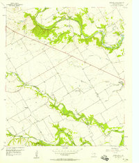
1957 · Speegleville
USGS Topo · 1:24,000