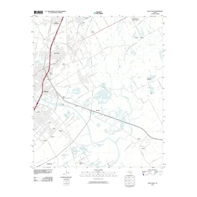
2010 Map of Waco East
USGS Topo · Published 2010About this map
Baylor University and the urban landscape of Waco anchor the western edge of this central Texas survey, where the Brazos River serves as a primary geographic divider. The river's path is modulated by the Lake Brazos Dam, while surrounding neighborhoods and industrial centers like Bellmead and Lacy-Lakeview expand into the rolling McLennan County countryside. A significant concentration of burial grounds, including the Jacob-Sholom Cemetery, Oakwood Cemetery, and Rosemound Cemetery, provides a dense record for genealogical research within the city limits.
Find a feature on this map
84 named features on this map. Tap any name to fly to it.
Don’t see what you’re looking for? This feature index may not catch every label — zoom into the map to look around manually.
Map Details
Editions of this 2010 Waco East Map
This is the sole edition of this map. No revisions or reprints were ever made.
Other maps of this area

1892 · Temple
USGS Topo · 1:125,000
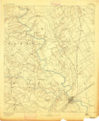
1892 · Waco
USGS Topo · 1:125,000
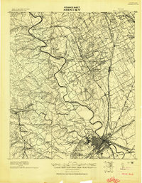
1920 · Waco
USGS Topo · 1:125,000
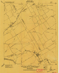
1920 · Mart
USGS Topo · 1:62,500
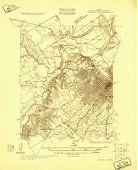
1924 · Waco 4-c
USGS Topo · 1:48,000
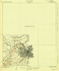
1931 · Elm Mott
USGS Topo · 1:62,500

1954 · Waco
USGS Topo · 1:250,000

1955 · Waco
USGS Topo · 1:250,000
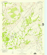
1956 · Axtell
USGS Topo · 1:24,000
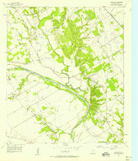
1957 · Gholson
USGS Topo · 1:24,000