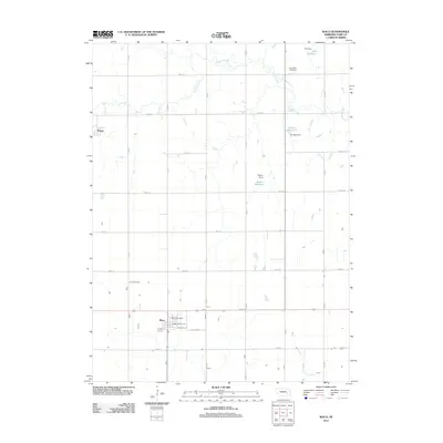
2011 Map of Waco
USGS Topo · Published 2011About this map
Waco anchors this section of York County, Nebraska, where the street grid of the town center includes Farmers St, Midland St, and the Waco Post Office. This modern survey reflects a landscape shaped by water management and agriculture, characterized by numerous small impoundments such as Tonniges Reservoir, Dey Reservoir, and Peters Reservoir. To the northwest, the small community of Thayer sits along the section lines near Lincoln Creek.
Find a feature on this map
23 named features on this map. Tap any name to fly to it.
Don’t see what you’re looking for? This feature index may not catch every label — zoom into the map to look around manually.
Map Details
Editions of this 2011 Waco Map
This is the sole edition of this map. No revisions or reprints were ever made.
Other maps of this area

1896 · Stromsburg
USGS Topo · 1:125,000

1898 · York
USGS Topo · 1:125,000

1899 · David City
USGS Topo · 1:125,000

1899 · York
USGS Topo · 1:125,000

1934 · Utica
USGS Topo · 1:62,500

1937 · Utica
USGS Topo · 1:62,500

1955 · Fremont
USGS Topo · 1:250,000

1955 · Lincoln
USGS Topo · 1:250,000

1957 · Fremont
USGS Topo · 1:250,000

1957 · Lincoln
USGS Topo · 1:250,000