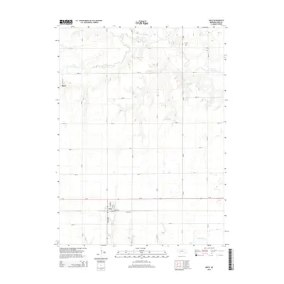
2014 Map of Waco
USGS Topo · Published 2014About this map
The village of Waco sits at the intersection of Us-34 and NE-93B-Link, serving as a central hub for this portion of York County. The town site is laid out with several established streets including Midland St, Farmers St, and Stafford St. To the northwest, the small settlement of Thayer is situated along Road R and W Cedar St, representing the rural residential pockets common to this agricultural landscape.
Find a feature on this map
29 named features on this map. Tap any name to fly to it.
Don’t see what you’re looking for? This feature index may not catch every label — zoom into the map to look around manually.
Map Details
Editions of this 2014 Waco Map
This is the sole edition of this map. No revisions or reprints were ever made.
Other maps of this area

1896 · Stromsburg
USGS Topo · 1:125,000

1898 · York
USGS Topo · 1:125,000

1899 · David City
USGS Topo · 1:125,000

1899 · York
USGS Topo · 1:125,000

1934 · Utica
USGS Topo · 1:62,500

1937 · Utica
USGS Topo · 1:62,500

1955 · Fremont
USGS Topo · 1:250,000

1955 · Lincoln
USGS Topo · 1:250,000

1957 · Fremont
USGS Topo · 1:250,000

1957 · Lincoln
USGS Topo · 1:250,000