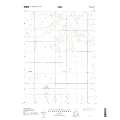
2017 Map of Waco
USGS Topo · Published 2017About this map
Waco stands as a central hub of this York County landscape, where a grid of rural roads meets the residential blocks of Stockton St and Midland Rd. To the northwest, the small settlement of Thayer marks the edge of the survey area. The terrain is defined by the winding course of Lincoln Cr, which meanders through the northern sections, and the seasonal drainage of Sleepy Hollow Cr in the southeast.
Find a feature on this map
32 named features on this map. Tap any name to fly to it.
Don’t see what you’re looking for? This feature index may not catch every label — zoom into the map to look around manually.
Map Details
Editions of this 2017 Waco Map
This is the sole edition of this map. No revisions or reprints were ever made.
Other maps of this area

1896 · Stromsburg
USGS Topo · 1:125,000

1898 · York
USGS Topo · 1:125,000

1899 · David City
USGS Topo · 1:125,000

1899 · York
USGS Topo · 1:125,000

1934 · Utica
USGS Topo · 1:62,500

1937 · Utica
USGS Topo · 1:62,500

1955 · Fremont
USGS Topo · 1:250,000

1955 · Lincoln
USGS Topo · 1:250,000

1957 · Fremont
USGS Topo · 1:250,000

1957 · Lincoln
USGS Topo · 1:250,000