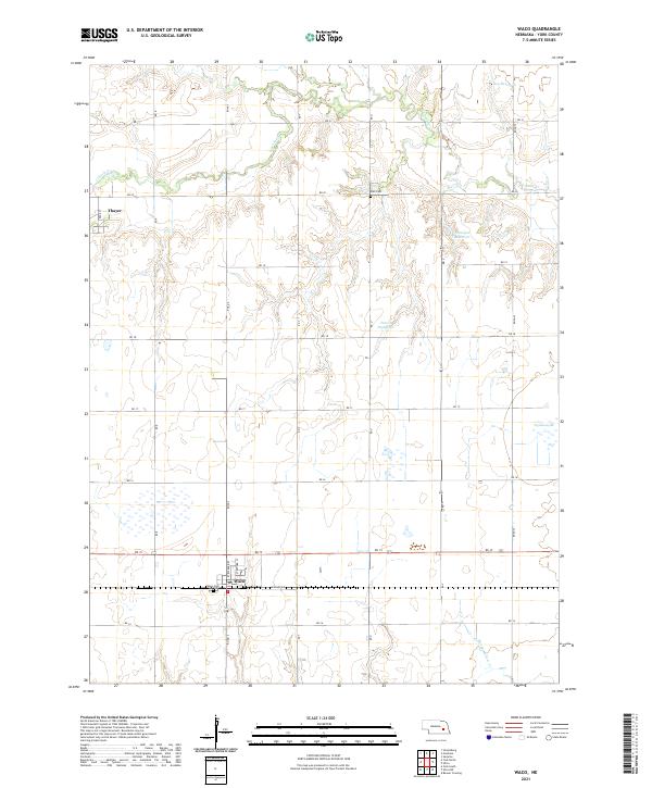
2021 Map of Waco
USGS Topo · Published 2021About this map
Waco and the smaller settlement of Thayer anchor this portion of York County, Nebraska, where the landscape is defined by the systematic grid of the Public Land Survey System. The area is intersected by a network of rural roads such as RD 15 and Road S, which support an agricultural economy reliant on managed water sources. Several reservoirs, including Tonniges Reservoir, Peters Reservoir, and Dey Reservoir, are distributed across the drainage basins of Lincoln Cr and Sleepy Hollow Cr. For those researching local heritage or genealogy, the map identifies significant sites such as Waco Cem and Palo Cem, providing a precise look at the community's established landmarks and infrastructure as it existed in the early 2020s.
Find a feature on this map
32 named features on this map. Tap any name to fly to it.
Don’t see what you’re looking for? This feature index may not catch every label — zoom into the map to look around manually.
Map Details
Editions of this 2021 Waco Map
This is the sole edition of this map. No revisions or reprints were ever made.
Other maps of this area

1896 · Stromsburg
USGS Topo · 1:125,000

1898 · York
USGS Topo · 1:125,000

1899 · David City
USGS Topo · 1:125,000

1899 · York
USGS Topo · 1:125,000

1934 · Utica
USGS Topo · 1:62,500

1937 · Utica
USGS Topo · 1:62,500

1955 · Fremont
USGS Topo · 1:250,000

1955 · Lincoln
USGS Topo · 1:250,000

1957 · Fremont
USGS Topo · 1:250,000

1957 · Lincoln
USGS Topo · 1:250,000